Légende
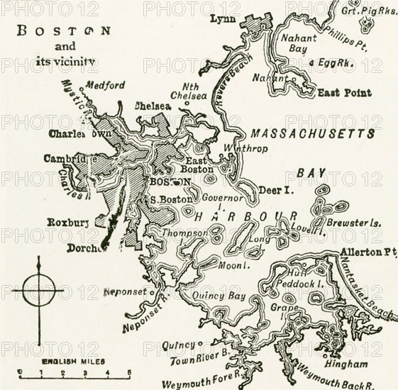
This map dates to 1922 and shows Boston and its vicinity at the time.
Crédit
Photo12/Universal Images Group/Ivy Close Images
Notre référence
UMG25A05_408
Licence
Droits gérés
Format disponible
51,6Mo (2,1Mo) / 36,3cm x 35,6cm / 4291 x 4200 (300dpi)