Légende
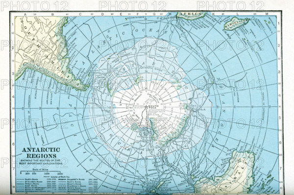
This map dates to the 1920s and shows the Antarctic regions, with the routes taken by various explorers between 1772 and 1914. The routes shown are those of Cook, D'Urville, Wilke, Ross, ""Challenger,"" ""Belgica,"" Borchgrevink, Drygalski, Scott, Bruce, Shackleton, Scott, Amundsen, and Mawson.
Crédit
Photo12/Universal Images Group/Ivy Close Images
Notre référence
UMG25A05_450
Licence
Droits gérés
Format disponible
47,7Mo (2,7Mo) / 42,4cm x 28,2cm / 5010 x 3328 (300dpi)