Légende
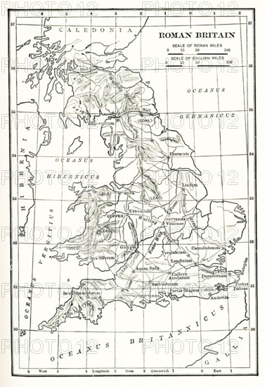
Map Roman Britain. The Province of Britain (Britannia) was the area of the island of Great Britain that was governed by the Roman Empire, from 43 to 410 AD. It comprised almost the whole of England and Wales and, for a short period, southern Scotland.
Crédit
Photo12/Universal Images Group/Ivy Close Images
Notre référence
UMG25A06_054
Licence
Droits gérés
Format disponible
51,1Mo (1,8Mo) / 29,6cm x 43,2cm / 3501 x 5100 (300dpi)