150 résultats pour : countrie
- Page
-
- sur
- 2
Connectez-vous pour plus de résultats
LZT20A47_130
Map, A new map of Libya or old Africk shewing its ...
LZT20A14_280
England (Igirisu), from the Countries of Europe (Y...
LZT20A14_304
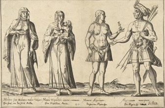
Picture of Men and Women from Many Countries (Bank...
LZT20A04_186
Different Peoples Inhabit the Countries of the Oce...

LZT20A04_187
Different Peoples Inhabit the Countries of the Oce...

LZT20A14_261
France (Furansukoku), from the Countries of Europe...
LZT20A14_257
English (Igirisujin), from the series A Collection...
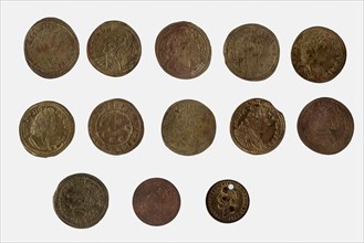
LZT19B47_385
Thirteen playpenninkjes, play medal utility medal ...
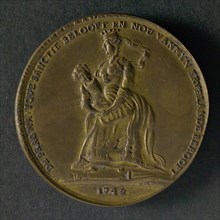
LZT19B46_411
Spot medal on the Pragmatic Sanction in Austria, w...
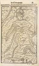
LZT19B35_124
Map showing Germania, with adjacent countries and ...
LZT19B32_332
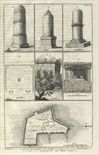
Views of Sepulchral Monuments near Aradus. A plan ...

LZT16A10_491
THE HEIR TO THE BELGIAN CROWN, Prince Albert of Fl...
LZT16A26_471
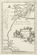
Map of Spain and part of North Africa, Jan Luyken,...
LZT16A31_461
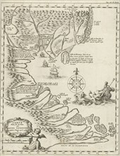
Map of Tonquin, Jan Luyken, 1681
LZT16A24_166
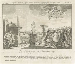
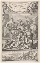
Allegory of the Brabant Revolution, 1789, Anonymou...
LZT16A31_437
Historical map of Netherlands with the areas of th...
LZT16A38_257
Allegory on the death of Michiel de Ruyter, 1676, ...
LZT16A26_470
Map of Ceylon, Jan Luyken, Cornelis Boutesteyn, Jo...
LZT16A27_449
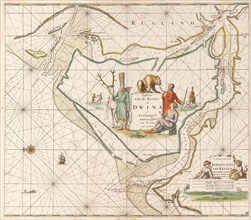
Sea chart of the Northern Dvina River, Jan Luyken,...
LZT16A31_438
Historical map of the Netherlands at the time of t...
LZT16A39_361
Siege and conquest of Hulst by the military forces...
LZT16A27_450
Sea chart of the Canary Islands, print maker: Jan ...
LZT16A31_439
Historical map of the Netherlands at the time of t...
LZT16A35_100
Allegory equating the Roman Catholic religion with...
LZT16A38_195
Riders with lances, Simon Frisius, 1595 - 1628
LZT16A27_443
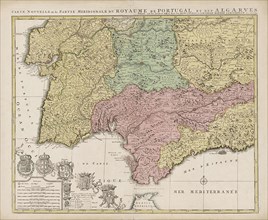
Map of the south of Spain and Portugal, Johannes C...
LZT16A31_138
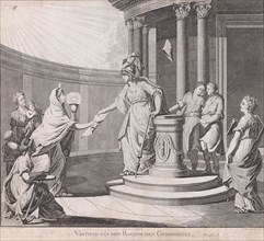
Dutch Virgin with lion on throne speaks to men fro...
LZT16A36_100
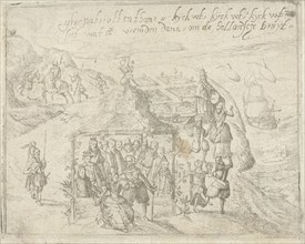
Title print for the pamphlet, Ghy Patriotten thans...
LZT16A28_217
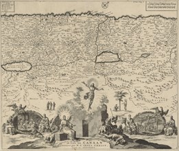
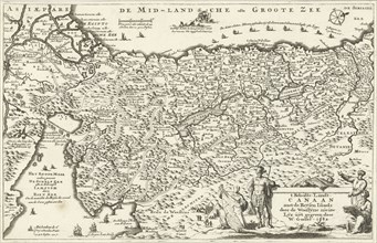
Country Map Canaan, Jan Luyken, Henri Desbordes, P...
LZT16A31_441
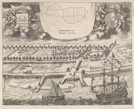
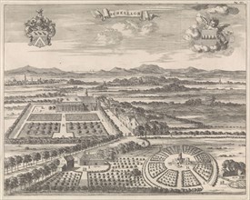
View of Nieuwlande, Jan Luyken, Johannes Meertens,...

LZT16A34_049
Allegory on the death of William III, King of Engl...
LZT16A26_474
Aegean Card with parts of Greece and Asia Minor, J...
LZT16A31_464
Gallia and the French Catholic Church watch how th...
LZT16A31_442
View of Schellach, Jan Luyken, Johannes Meertens, ...
LZT16A00_351
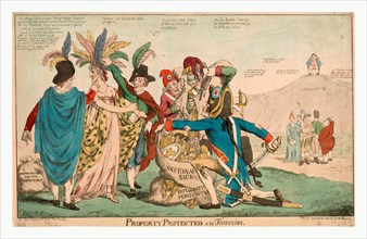
Property protected--à la Françoise, British sati...
LZT16A26_473
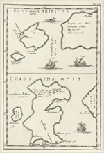
Maps of Kos and Chios, Jan Luyken, Cornelis Boutes...
LZT16A26_427
Map of the area east and south of Brussels and the...
LZT16A27_444
Map of the Southern Netherlands, Justus Danckerts,...
LZT16A27_466
Sea chart of the Northern Dvina River, Russia, Jan...
LZT16A33_088
Map of Amsterdam (leaf right), 1625, The Netherlan...
LZT16A36_375
View of the city Bantam, Pieter Serwouters, Dirck ...
LZT16A26_472
Map of Italy and part of North Africa, Jan Luyken,...
LZT16A27_422
Sea chart of the Baltic Sea from Rostock to Vyborg...
LZT16A26_443
Map of Golkonda Fort, India, Jan Luyken, Jan Claes...
LZT16A27_024
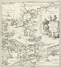
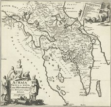
Map of Achaea, Jan Luyken, Joannes Wolters, 1689
LZT16A39_062
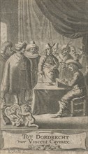
Man at desk, Reinier van Persijn, V. Caymax, 1652
LZT16A31_466
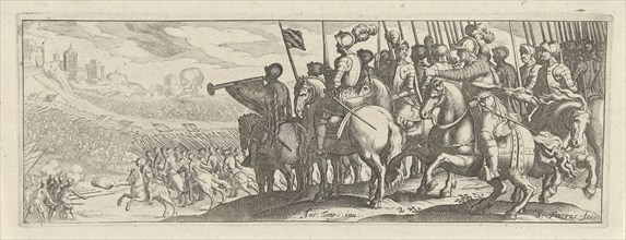
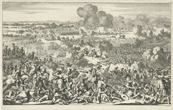
Battle, Jan Luyken, 1695
LZT16A27_362
Map of Canaan, Jan Luyken, Willem Goeree, 1682
LZT16A26_477
Map of Ceylon, Jan Luyken, Cornelis Boutesteyn, Jo...
LZT16A36_440
Dutch Virgin flanked by Mars and Mercury, print ma...
LZT16A26_476
Map of the Persian Empire, Jan Luyken, Cornelis Bo...
LZT16A26_489
Map of the Cycladic islands of Delos and Rhenia, G...
LZT16A36_344
Failed attack on Fort Kallo, Belgium, 1638 Bonaven...
LZT16A39_012
The ships' t Yellow Fortune and Love, Anonymous, R...
LZT16A32_429
Tour of the army of Maurice to Ostend (left leaf),...

LZT16A24_286
Fumigation of the Corsican, 1813, Anonymous, Thoma...
LZT16A39_003
Schansen near Bergen op Zoom, Steenbergen and alon...
LZT16A32_018
Mediterranean People around 1580, Abraham de Bruyn...
LZT16A37_458
Napoleon crushed under an hexagonal block, print m...
LZT16A63_234
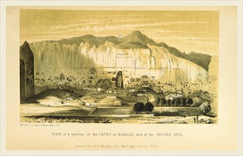
Caves at Bamian, Narrative of various Journeys in ...
LZT16A62_130
St. Louis, A Geographical Description of the Unite...
LZT16A62_145
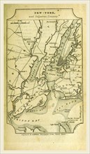
New York, A Geographical Description of the United...
LZT16A62_163
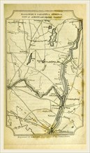
Ballston and Saratoga Springs, City of Albany, A G...
LZT16A62_162
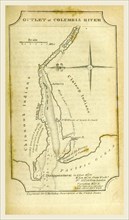
Columbia river map, A Geographical Description of ...
LZT16A62_133
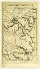
Baltimore, Annapolis, A Geographical Description o...
LZT16A63_037
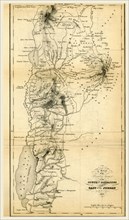
Map countries south of Damascus and east of Jordan...
LZT16A62_144
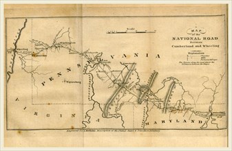
Map of the road between Cumberland and Wheeling, A...
LZT16A72_250
Dutch Shipping off the Low Countries, Adam Silo, c...
LZT13A28_176
AN ENCAMPMENT ON THE SHORES OF LAKE TANGANYIKA, an...
LZT13A29_424
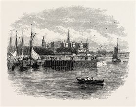
ELSINORE. Helsingør often known in English-speaki...

LZT13A41_319
JOANNA BAILLIE, 1762-1851, SCOTTISH POET AND DRAMA...
LZT13A31_188
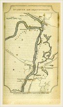
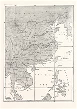
MAP OF CHINA AND SOME OF THE ADJOINING COUNTRIES
LZT13A19_104
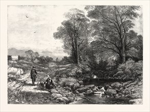
IN THE NORTH COUNTRIE, BY T. CRESWICK, R.A IN THE ...
LZT13A00_043
Gotha, Justus Perthes, 1872, Atlas. Perthes, Johan...
LZT13A00_054
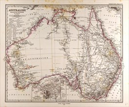
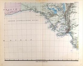
Australia Map Gotha, Justus Perthes, 1872, Atlas. ...
LZT13A00_061
Australia Map Gotha, Justus Perthes, 1872, Atlas. ...
LZT13A00_072
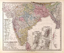
India Map Gotha, Justus Perthes, 1876, Atlas. Pert...
LZT13A00_086
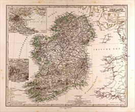
Ireland Map 1872 Gotha, Justus Perthes, 1872, Atla...
LZT13A00_104
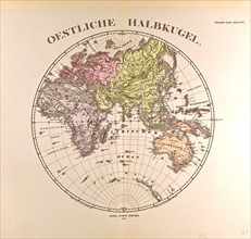
Eastern Hemisphere Gotha, Justus Perthes, 1872, A...
LZT13A00_115
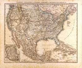
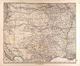
U.S.A. Mexico Gotha 1872 Justus Perthes Atlas Map ...
LZT13A00_097
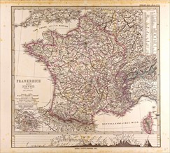
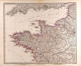
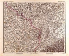
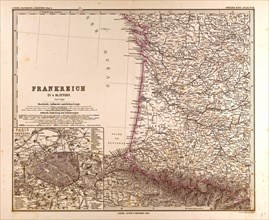
France map 1874 Gotha, Justus Perthes, 1872, Atlas...
LZT13A00_053
Australia Map Gotha, Justus Perthes, 1872, Atlas. ...
LZT13A00_062
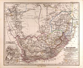
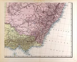
South Africa 1872 Map Gotha, Justus Perthes, 1872,...
LZT13A00_071
India Mongolia China Gotha, Justus Perthes, 1876, ...
LZT13A00_087
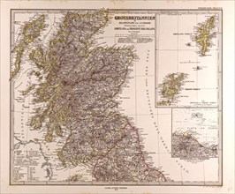
Great Britain Map Scotland 1872 Gotha, Justus Pert...
LZT13A00_105
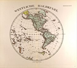
Westen HemisphereGotha, Justus Perthes, 1872, Atla...
LZT13A00_114
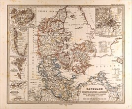
Danmark Map 1872 Gotha Justus Perthes Atlas Gotha...
LZT13A00_044
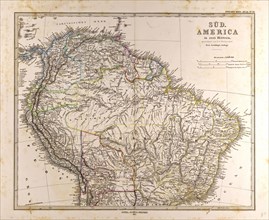
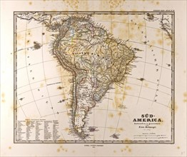
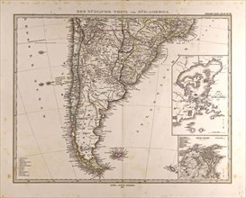
Map South America, Gotha, Justus Perthes, 1872, At...
LZT13A00_096
France map 1874 Gotha, Justus Perthes, 1872, Atlas...
LZT13A00_052
Australia Gotha, Justus Perthes, 1872, Atlas. Pert...
LZT13A00_063
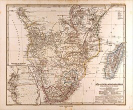
South Africa Madagascar Map, Gotha, Justus Perthes...
LZT13A00_073
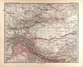
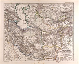
Iran Persia Map 1876 Gotha, Justus Perthes, Atlas....
LZT13A00_084
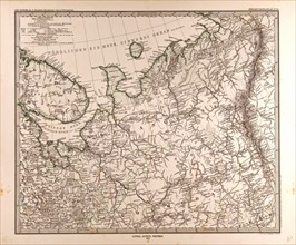
Eastern Europe Russia map 1873 Gotha, Justus Perth...
LZT13A00_095
France map 1874 Gotha, Justus Perthes, 1872, Atlas...
LZT13A00_106
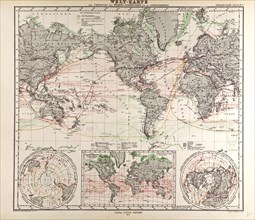
World Map Gotha, Justus Perthes, 1872, Atlas. Pert...
LZT13A00_117
U.S.A. MapGotha, Justus Perthes, 1872, Atlas. Pert...
LZT13A00_042
Map South America 1872, Gotha, Justus Perthes, 187...
LZT13A00_051
New South Wales Gotha, Justus Perthes, 1872, Atlas...
LZT13A00_064
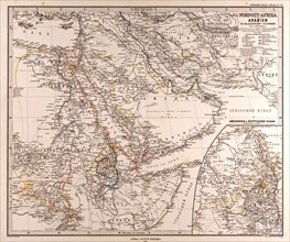
Arabia North East Africa Map Gotha, Justus Perthes...
LZT13A00_094
France map 1874 Gotha, Justus Perthes, 1872, Atlas...
- Page
-
- sur
- 2