18 résultats pour : 1860 map
- Page
-
- sur
- 1
Connectez-vous pour plus de résultats
UMG24A35_098
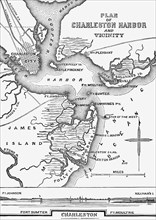
Charleston Harbor 1861

UMG22A55_077
Géographie
UMG22A06_495
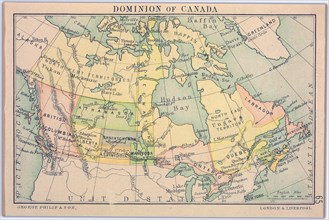
Dominion of Canada Map
UMG21A19_349
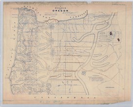
A Diagram of Oregon (1860 Oregon Map).
UMG21A17_075
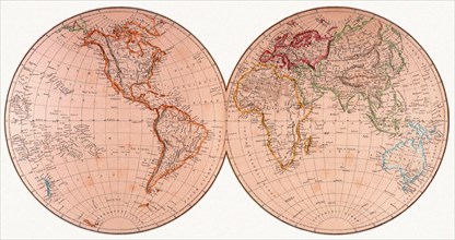
The World
UMG21A17_074
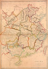
China
UMG20A01_026
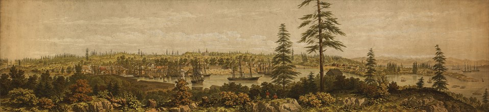
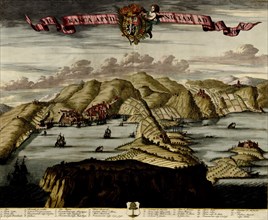
View of Victoria, Vancouver Island. 1860 1860
UMG20A03_060
US In the Civil War Period - 1863 1863
UMG20A03_303
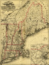
Maine, New Hampshire, Vermont, Massachusetts, Rhod...
UMG20A01_240
Nice on the Mediterranean - 1700 1700
UMG20A03_085
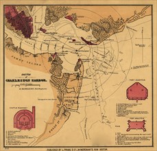
Charleston Harbor 1860's
UMG20A03_364
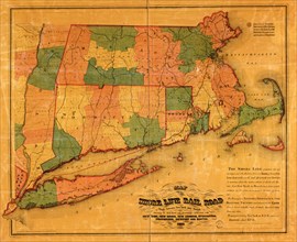
Shore Line - 1860 1860
UMG20A01_239
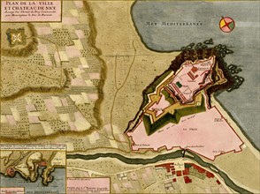
Fortifications at Nice, France - 1700 1700

UMG20A03_230
Southern States Before the Outbreak of War - 1860 ...
UMG20A03_241
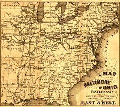
Baltimore & Ohio - B&O - 1860 1860
UMG20A03_379
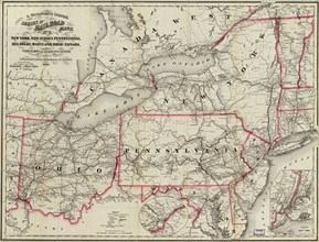
New York, New Jersey, Pennsylvania, Delaware, Mary...
UMG20A02_117
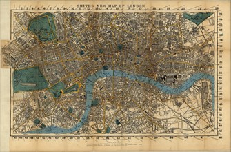
London, England - 1860 1860
UMG20A03_202