12 résultats pour : boston harbor map
- Page
-
- sur
- 1
Connectez-vous pour plus de résultats
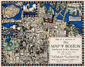
UMG22A48_399
Section of the Map of Boston
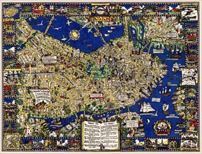
UMG22A48_400
A map of Boston decorative AND historical
UMG22A30_049
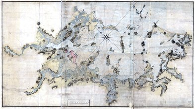
Vintage Maps / Antique Maps - Boston Harbour, with...
UMG21A17_344
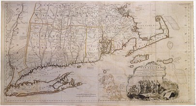
Map of New England 1774
UMG20A00_424
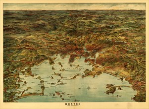
Boston Harbor & Environs 1905 1905
UMG20A03_382
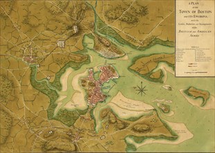
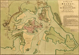
Boston under Siege from the British - 1776
UMG20A00_425
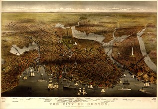
Boston Harbor & Environs 1873 1873
UMG20A03_383
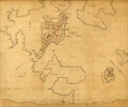
Rough draught of Boston and harbor - 1776
UMG20A00_426
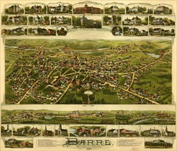
Barre, Massachusetts 1891 1891
UMG20A03_385
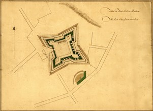
Fort Hill, Boston - 1776
UMG20A04_020
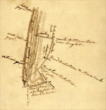
Roads to Morristown - 1778
UMG20A03_384