95 résultats pour : french cartographer
- Page
-
- sur
- 1
Connectez-vous pour plus de résultats
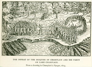
UMG24A07_008
This illustration from a drawing in Champlain's Vo...
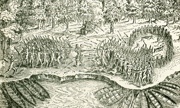
UMG24A07_009
This illustration from a drawing in Champlain's Vo...
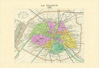
UMG20A00_132
Paris - Capitale de la France 1850
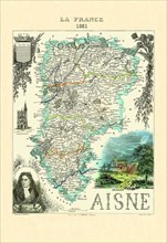
UMG20A00_164
Aisne 1850
UMG20A00_151
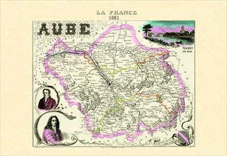
Aube 1850
UMG20A00_117
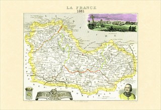
Cotes-du-Nord 1850
UMG20A00_178
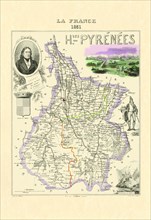
Hautes-Pyrenees 1850
UMG20A00_148
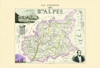
Bses Alpes 1850
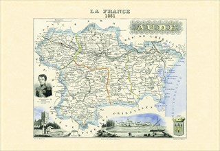
UMG20A00_112
Aude 1850
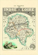
UMG20A00_161
Indre-et-Loire 1850

UMG20A04_083
Atlas Frontispiece by Philip Kilian 1680
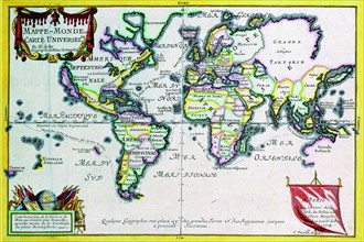
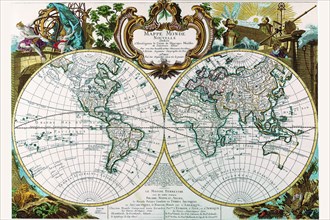
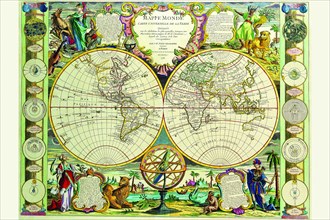
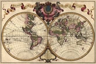
UMG20A04_094
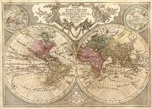
Mappe-Monde or Carte Universel 1724
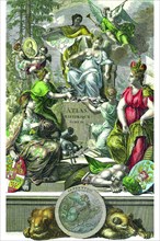
UMG20A04_082
Historical Atlas Title Page 1719
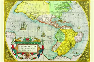
UMG20A04_116
The Americas 1579
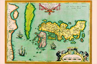
UMG20A04_135
Description of the Japanese Islands 1590
UMG20A04_098
Mappe Monde Nouvelle 1744
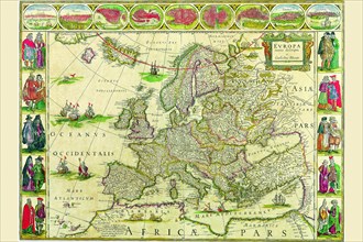
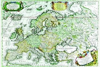
UMG20A04_119
Europe 1650
UMG20A04_134
East Indies by Ortelius 1590
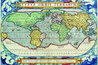
UMG20A04_088
Typus Orbis Terrarum from the Theatre of the World...
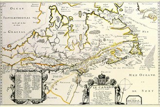
UMG20A04_118
New France or Canada by Champlain 1677
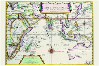
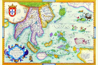
UMG20A04_133
Indies Orientales; Southeast Asia 1680
UMG20A04_096
Stereographic Map of the World with Polar projecti...
UMG20A04_121
Europe 1690
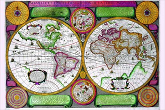
UMG20A04_100
Mappa Monde Carte Universelle de la terre 1755
UMG20A04_090
Stereographic World Map of the Eastern & Western H...
UMG20A01_075
World Map 1732
UMG20A04_140
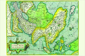
Asia 1570
UMG20A00_135
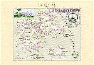
Guadalupe 1850
UMG20A00_152
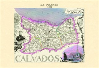
Calvados 1850
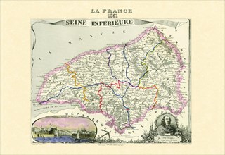
UMG20A00_126
Seine-Inferieure 1850
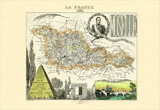
UMG20A00_139
Moselle 1850
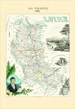
UMG20A00_173
Loire 1850
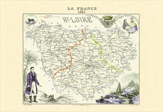
UMG20A00_125
Haute-Loire 1850
UMG20A00_133
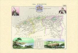
Algerie 1850
UMG20A00_138
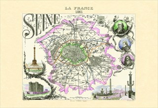
Seine 1850
UMG20A00_182
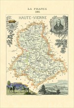
Haute-Vienne 1850
UMG20A00_111
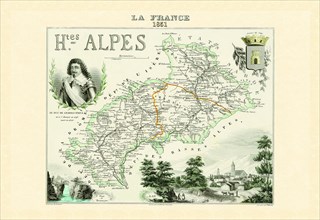
Hautes-Alpes 1950
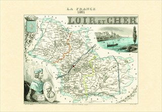
UMG20A00_123
Loir-et-Cher 1850
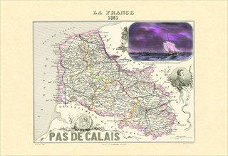
UMG20A00_143
Pas de Calais 1850
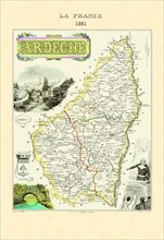
UMG20A00_165
Ardeche 1850
UMG20A00_318
World Map 1660
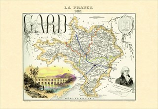
UMG20A00_157
Gard 1850
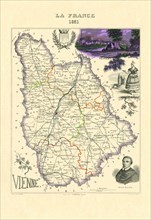
UMG20A00_181
Vienne 1850
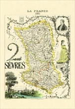
UMG20A00_127
Deux-Sevre 1850
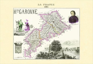
UMG20A00_158
Garonne 1850
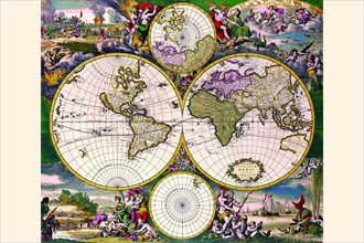
UMG20A00_315
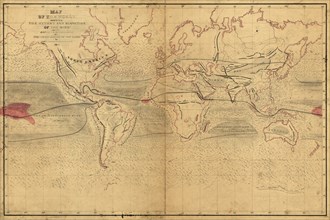
World Winds in Navigation 1850
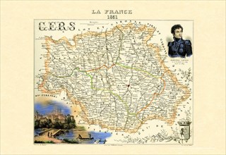
UMG20A00_159
Gers 1850

UMG20A00_160
Seine-et-Oise 1850
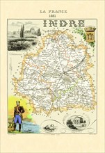
UMG20A00_171
Indre 1850
UMG20A00_179
Haut-Rhin 1850
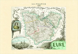
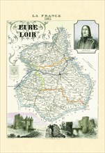
UMG20A00_118
Eure 1850
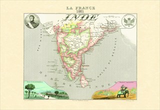
UMG20A00_136
Inde Francaise 1850
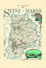
UMG20A00_180
Seine-et-Marne 1850
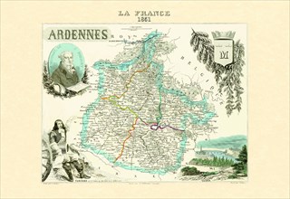
UMG20A00_149
Ardennes 1850
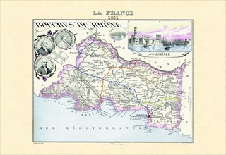
UMG20A00_113
Bouches-Du-Rhone 1850
UMG20A00_119
Eure-et-Loir 1850
UMG20A00_163
Rhone 1850
UMG20A00_316
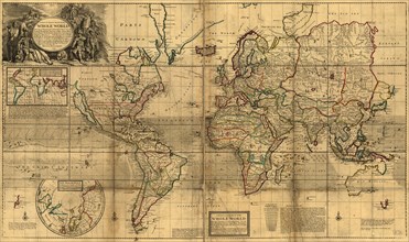
World Map Prepared for then French King 1700
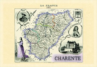
UMG20A00_114
Charente 1850
UMG20A00_131
Paris 1850
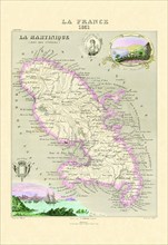
UMG20A00_137
Martinique 1850
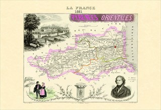
UMG20A00_145
Pyrenees Orientales 1850
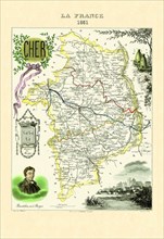
UMG20A00_167
Cher 1850
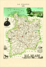
UMG20A00_170
Ille-et-Vilaine 1850
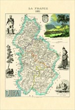
UMG20A00_172
Jura 1850
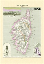
UMG20A00_115
Corse 1850
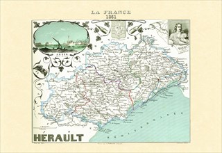
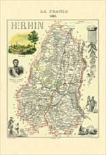
UMG20A00_121
Herault 1850
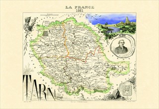
UMG20A00_128
Tarn 1850
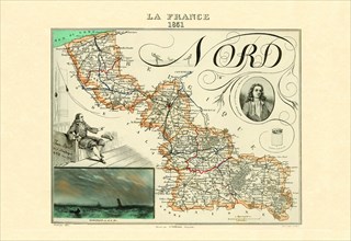
UMG20A00_141
Nord 1850
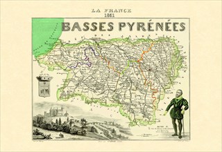
UMG20A00_144
Basses Pyrenees 1850
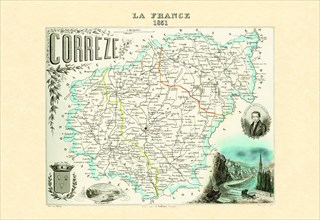
UMG20A00_154
Correze 1850
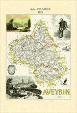
UMG20A00_166
Aveyron 1850
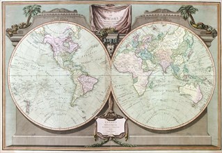
UMG20A00_314
Imperial Sheet Atlas 1808
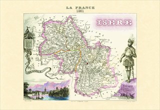
UMG20A00_122
Isere 1850
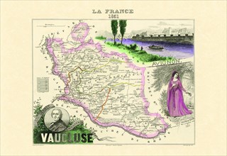
UMG20A00_129
Vaucluse 1850
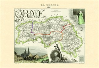
UMG20A00_142
Ornde 1850
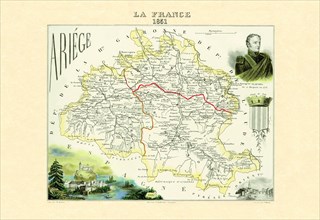
UMG20A00_150
Ariege 1850
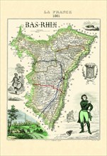
UMG20A00_162
Bas-Rhin 1850
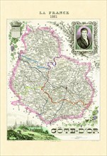
UMG20A00_116
Cote D'Or 1850
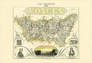
UMG20A00_130
Vosges 1850
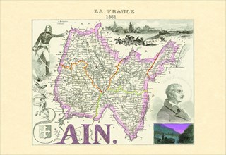
UMG20A00_146
Ain 1850
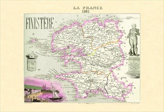
UMG20A00_156
Finistere 1850
UMG20A00_168
Dordogne 1850
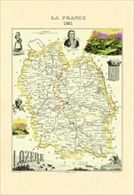
UMG20A00_174
Lagere 1850
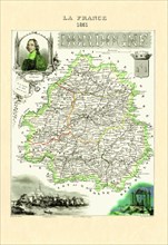
UMG20A00_120
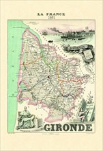
Gironde 1850
UMG20A00_134
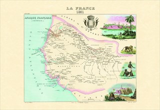
Senegambie 1850
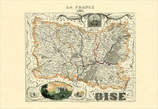
UMG20A00_140
Oise 1850
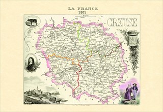
UMG20A00_155
Creuse 1850
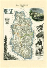
UMG20A00_177
Meuse 1850
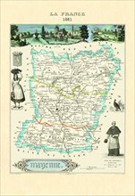
UMG20A00_176
Mayenne 1850
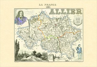
UMG20A00_147
Allier 1850
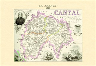
UMG20A00_153
Cantal 1850
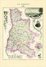
UMG20A00_169
Drome 1850
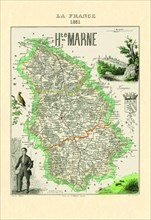
UMG20A00_175
Haute-Marne 1850
UMG20A00_317