60 résultats pour : historical europe maps
- Page
-
- sur
- 1
Connectez-vous pour plus de résultats
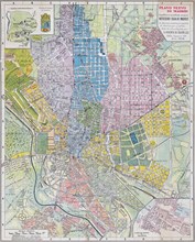
UMG23A62_131
Plan of Madrid.
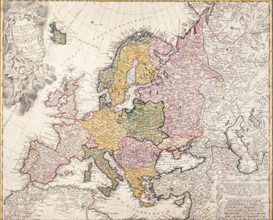
UMG23A16_379
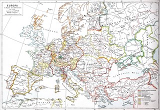
Europe map, 1793
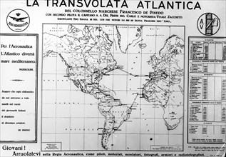
UMG23A15_020
Propaganda poster in the occasion of the cruise av...
UMG23A00_243
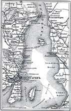
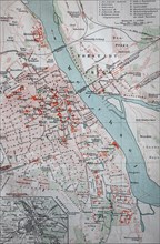
Map of Copenhagen.
UMG23A02_037
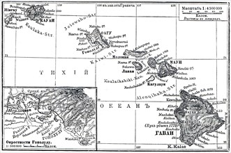
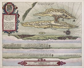
Map of Archipelago Hawaii.
UMG23A02_072
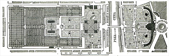
Paris Exhibition.
UMG23A02_073
Vienna Exhibition.
UMG23A02_038
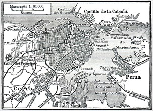
Plan of La Habana.
UMG23A02_039
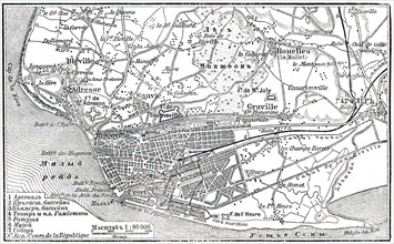
Plan of Le Havre.
UMG23A02_068
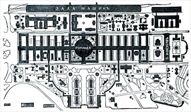
Berlin Exhibition.
UMG23A02_069
Paris Exhibition.
UMG23A02_070
Paris Exhibition.
UMG23A02_071
Paris Exhibition.
UMG22A67_399
Head of the World.
UMG22A65_274
Old World Irish Map 1600
UMG22A69_297
Plan of Athens.
UMG22A63_367
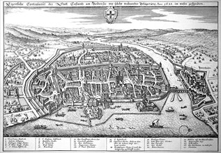
Constance On Lake Constance In The Middle Ages
UMG22A63_380
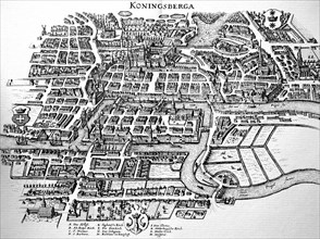
Koenigsberg In The Middle Ages

UMG22A63_361
Augsburg
UMG22A63_383
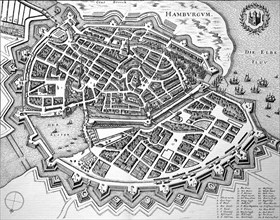
Hamburg In The Middle Ages

UMG22A54_089
Illustration
UMG22A41_319
Calcografia di Roma, 1779
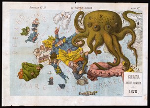
UMG22A23_357
La piovra Russa (Italian political cartoon by Gros...
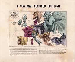
UMG22A05_455
A new map designed for 1870 Europe
UMG22A04_187
Reichborns kart over Christiania
UMG22A03_495
Geelkercks kart over Christiania
UMG22A03_072
Linschotens kart over Vardø - Cartographer Jan Huy...
UMG22A03_311
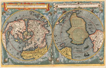
Cornelis De Jodes verdenskart
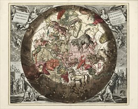
UMG21A22_217
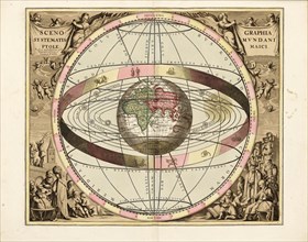
Cellarius' Scenographia Systematis Mundani Ptolema...
UMG21A22_218
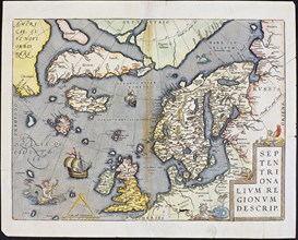
Abraham Ortelius nordenkart, 1601 - Map of Norther...
UMG21A22_215
Cellarius' Hæmisphærium Stellatum Boreale Antiqvum...
UMG21A22_216
Cellarius' Hæmisphærium Stellatvm Boreale cvm Subi...
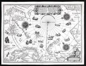
UMG21A22_213
Barentskartet, 1598.
UMG21A22_214
Cartographer Vibe og Irgens - Vibe og Irgens kart ...
UMG21A18_161
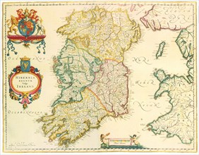
Map of Ireland 1635
UMG21A17_329
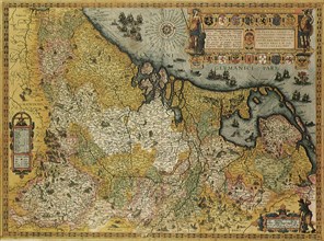
Belgium and Holland Map 1606
UMG21A18_165
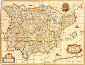
Iberian Peninsula Map 1631
UMG21A17_196
La Rochelle
UMG21A15_004
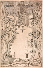
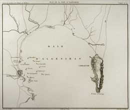
Algeciras Bay.
UMG21A02_192
Map of Europe at the beginning of the Reformation ...
UMG20B49_153
The crusades were a series of religious wars in we...
UMG20B46_033
Digital improved reproduction
UMG20B46_032
Digital improved reproduction
UMG20B46_051
Digital improved reproduction
UMG20B46_059
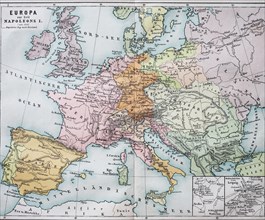
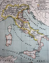
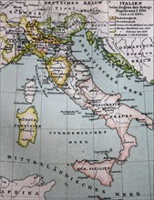
Historical map of Europe from the time of Napoleon...
UMG20B46_050
Digital improved reproduction
UMG20B46_049
Digital improved reproduction
UMG20B46_048
Digital improved reproduction
UMG20B46_060
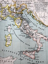
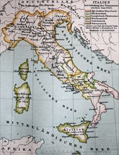
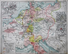
Historical map of central Europe from the time of ...
UMG20B46_052
Digital improved reproduction
UMG20B24_324
History by Polybius, Volume IV
UMG20B24_270
History by Polybius, Volume I
UMG20B24_340
History by Polybius, Volume V, 1729
UMG20B24_315
History by Polybius, Volume III
UMG20A16_159
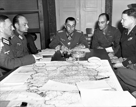
German Army Group G Surrender
UMG20A16_044
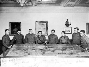
British War Progress
UMG20A18_231
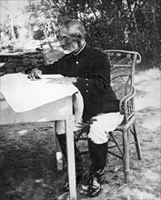
Count Nogi Maresuke
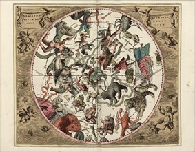
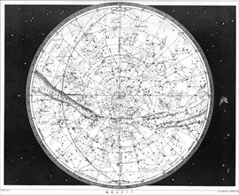
UMG20A12_311
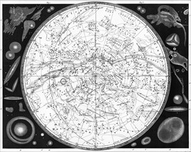
Map Of The Southern Heavens
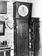
UMG20A21_486
Greenwich Royal Observatory
UMG20A12_312