58 résultats pour : historical war maps
- Page
-
- sur
- 1
Connectez-vous pour plus de résultats
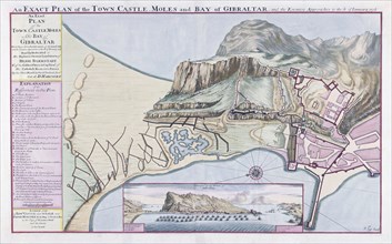
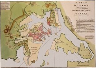
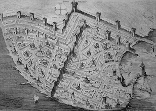
UMG23A61_178
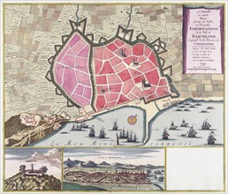
An Exact Plan of the Town Castle Moles and Bay of ...
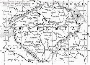
UMG23A59_110
Map of Bohemia at the outbreak of WWI.
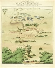
UMG23A60_110
Souvenir Battle of Waterloo map.
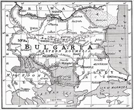
UMG23A58_373
Map of Bulgaria at the outbreak of WWI.
UMG23A62_099
The true and exact Plan of all the Old and New For...

UMG23A62_069
Map of Limerick.
UMG23A58_371
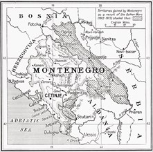
Map of Montenegro at the outbreak of WWI.
UMG23A58_312
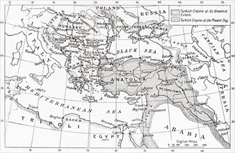
Map of Turkey at the outbreak of WWI.
UMG23A58_351
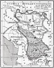
Map of Serbia at the start of WWI.
UMG23A00_015
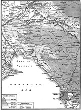
Map of Carso Battlefield.
UMG22A54_182
Géographie

UMG22A43_475
Johann Samuel Heinrich Kiepert (b. July 31
UMG22A23_357
La piovra Russa (Italian political cartoon by Gros...
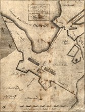
UMG22A25_068
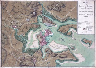
Vintage Maps / Antique Maps - A plan of the town o...
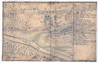
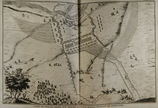
UMG22A24_353
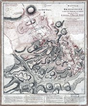
Vintage Maps / Antique Maps - Sketch of the engage...
UMG22A29_485
Vintage Maps / Antique Maps - Exact plan of Genera...
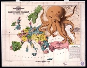
UMG22A19_094
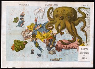
Comic war map for the year 1877
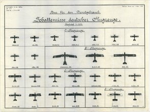
UMG22A20_140
German Aircraft Recognition Chart June 1918

UMG22A20_261
Illinois: A descriptive and historical guide ca. 1...

UMG22A06_107
Vintage Maps / Antique Maps
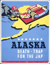
UMG22A03_441
Alaska - death-trap for the Jap

UMG22A03_402
Australia and the war
UMG21A17_269
How the Battle Lines Were Drawn
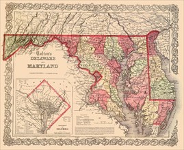
UMG21A17_117
The Original District of Columbia—1865
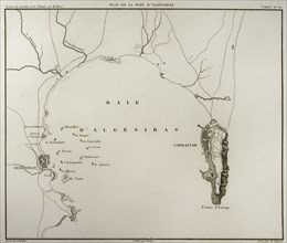
UMG21A15_004
Algeciras Bay.
UMG20B49_153
The crusades were a series of religious wars in we...
UMG20B46_052
Digital improved reproduction
UMG20B24_270
History by Polybius, Volume I
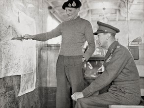
UMG20B19_288
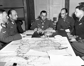
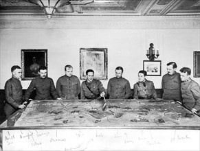
King George VI in the map lorry at Field-Marshal M...
UMG20B19_452
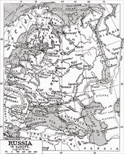
Map of Russia in 1915
UMG20B19_137
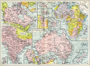
Map of British possessions in 1914 at the outbreak...
UMG20B19_179
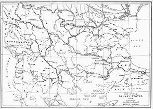
Map of the Balkan States in 1914
UMG20A16_159
German Army Group G Surrender
UMG20A16_044
British War Progress
UMG20A18_231
Count Nogi Maresuke

UMG20A18_230
Count Nogi Maresuke
UMG20A01_300
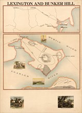
Lexington & Bunker Hill 1898

UMG20A01_309
First Attempt to Open the Mississippi 1898
UMG20A01_310
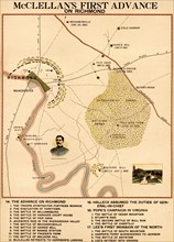
McClellan's 1st Advance on Richmond 1898
UMG20A03_159
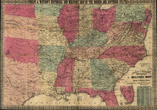
Historical & Military map of the Border & Southern...

UMG20A16_110
American Boot To Crush Kaiser
UMG20A03_038
Seat of War - 1865 1865
UMG20A01_308
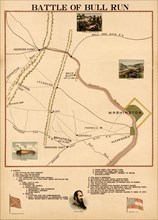
Civil War - Bull Run 1898
UMG20A01_304
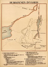
Burgoyne's Invasion 1898
UMG20A01_313
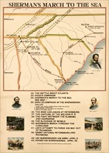
Sherman's March to the Sea 1898
UMG20A01_296
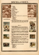
Miscellaneous Explorations 1898

UMG20A01_303
Revolutionary War Causes & Events 1898

UMG20A01_314
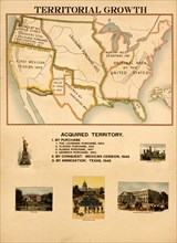
Organization & Development of the United States 18...

UMG20A03_037
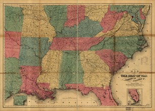
Historical War Map - 1862
UMG20A01_302
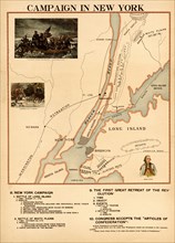
Campaign in New York 1898
UMG20A01_311
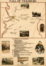
Fall of Vicksburg 1898
UMG20A01_301
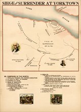
Siege & Surrender at Yorktown 1898
UMG20A01_312
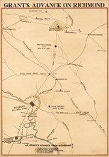
Grants Advance of Richmond 1898
UMG20A01_293
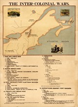
Inter Colonial wars 1898

UMG20A01_306
Organization & Development of the United States 18...
UMG20A01_294
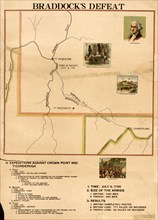
Braddock's Defeat(Getty Only) 1898
UMG20A01_305
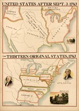
The original Colonies 1783 1898
UMG20A01_316