156 résultats pour : map africa
- Page
-
- sur
- 2
Connectez-vous pour plus de résultats
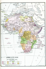
UMG25A06_052
Map of Africa in 1910. Note: The coloring shows t...
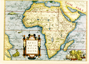
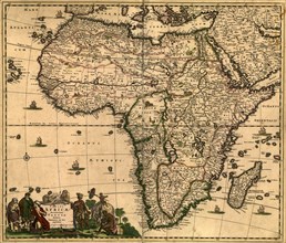
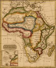
UMG25A06_178
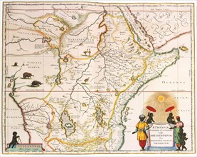
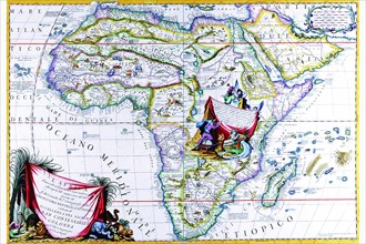
Map of Africa - the inset in lower left titles it:...
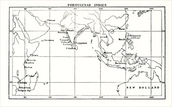
UMG25A01_169
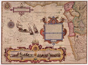
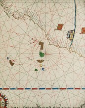
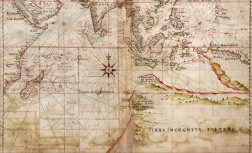
This map shows the Portuguese exploits in the Indi...
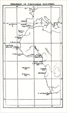
UMG25A01_168
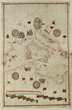
This map shows the progress of Portuguese discover...
UMG25A01_156
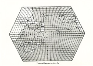
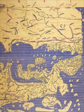
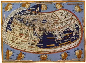
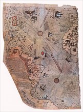
Toscanelli’s Map (Restored). Toscanelli (1397 –14...
UMG25A01_157
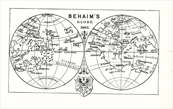
This illustration shows Behaim's globe in 1492. Ma...

UMG25A01_162
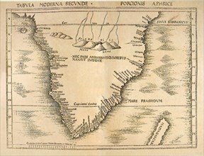
This map shows the exploration and partition of Af...
UMG24A06_490
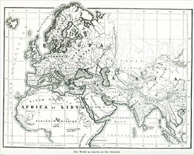
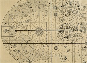
This map shows the world as it was known to the an...
UMG24A06_497
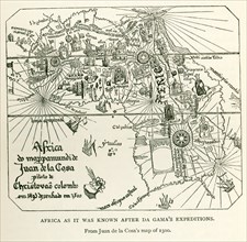
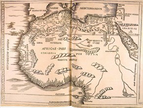
This image shows Africa as it was known after DaGa...
UMG24A03_284
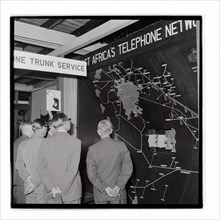
Royal Show East Africa Post and Telecommunications...
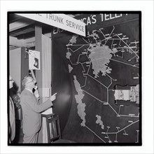
UMG24A03_285
Royal Show East Africa Post and Telecommunications...
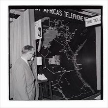
UMG24A03_286
Royal Show East Africa Post and Telecommunications...
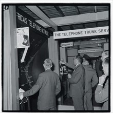
UMG24A03_383
Royal Show East Africa Post and Telecommunications...
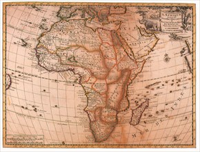
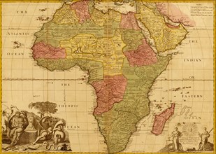
UMG23A60_344
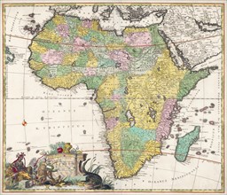
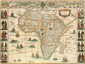
Map of Africa dating from the late 17th century.
UMG23A64_269
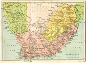
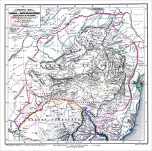
Map Of South Africa Since 1815.
UMG23A64_295
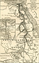
Map of Egypt and the Anglo-Egyptian Sudan at the t...
UMG23A64_266
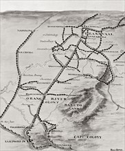
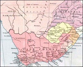
Lord Kitchener's Blockhouse System in South Africa...
UMG23A02_233
Starting course of Geography'.
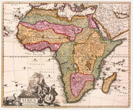
UMG22A70_458
Cassini Giovanni Maria. Engraving of 1788. Map of ...
UMG22A65_273
West Africa, 1596
UMG22A69_163
Western Europe and northwestern Africa.
UMG22A06_063
South Africa History
UMG22A06_061
South Africa History
UMG21A17_195
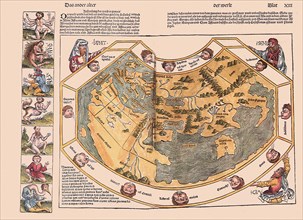
Ptolemaic World, 1482
UMG21A17_296
Inland Indian Ocean 1493
UMG21A17_178
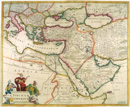
Turkish Empire
UMG21A17_230
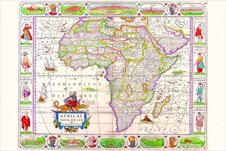
Map of Africa

UMG21A17_300
World Map with Red Sea 1526
UMG21A17_231
Map of Africa
UMG21A17_299
Turkish Map with Icons 1513
UMG21A17_361
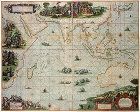
Indian Ocean 1670
UMG21A17_259
Indian Ocean, Australia & the Orient
UMG21A17_206
Barbary coast
UMG21A17_257
D’Alexandrie
UMG21A18_155
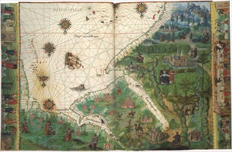
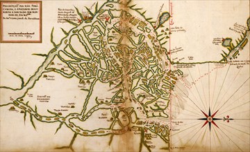
Map of East Africa etc 1547
UMG21A17_177
Nova Orbis Tabula, in Lucem Edita
UMG21A17_302
Double-Hemisphere Map 1542
UMG21A17_076
Africa
UMG21A17_179
Africa
UMG21A17_239
Africa
UMG21A17_075
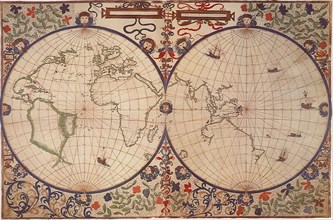
The World
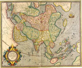
UMG21A17_205
Asia
UMG21A18_168
Map of Africa 1617
UMG21A18_169
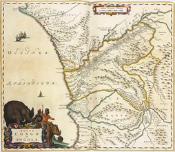
Map of Zaire 1662
UMG21A17_202
Africa
UMG21A17_240
Western Europe
UMG21A18_170
Map of eastern and central Africa . 1635
UMG21A15_147
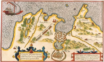
Map of Carthage and the Peninsula.
UMG21A14_141
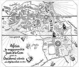
Map by Spanish marine and cartographer Juan de la ...
UMG21A02_232
historical map from Africa to Juan de la Cosa

UMG20B37_202
The Catalan Atlas.
UMG20B38_187
Map of the Canary Islands and the west coast of Af...
UMG20B38_189
Western Mediterranean.
UMG20B50_261
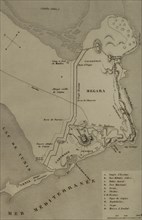
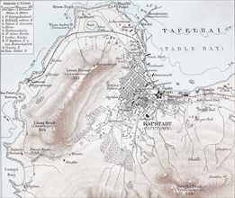
historical map of Capetown
UMG20B40_368
Sallust.
UMG20B36_186
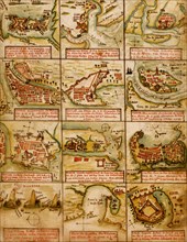
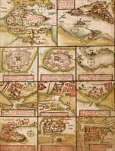
Map of the cities of North Africa. 16th century.
UMG20B24_490
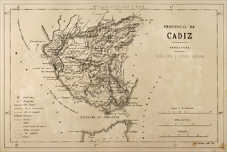
Map of the Cadiz province, Andalusia, Spain, Croni...
UMG20B15_046
WWII -1940 1941 - North African Campaign
UMG20B15_060
WWII -1940 1941 - North African Campaign
UMG20A32_189
Henry stanley
UMG20A00_298
Portolan Map of Spain, England, Ireland & France 1...
UMG20A01_499
Portugese Navigational Map of the North Atlantic -...
UMG20A04_127
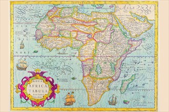
Africa 1690
UMG20A04_093
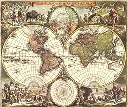
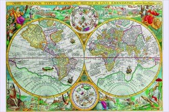
World Map 1599
UMG20A04_128
Africa 1691
UMG20A04_125
Africa 1658
UMG20A04_126
Africa 1610
UMG20A01_474
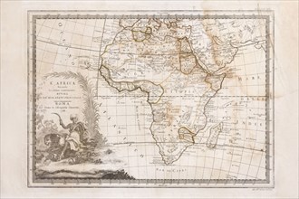
Africa - 1740 1740
UMG20A02_003
Portuguese Navigational Map of Caribbean Ports - 1...
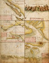
UMG20A02_123
Massaua, Ethiopia - Eritrea - 1896 1896
UMG20A01_475
Africa - 1688 1688
UMG20A02_124
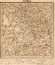
Cheren, Eritrea, Ethoipia 1896
UMG20A04_124
Africa 1640
UMG20A04_133
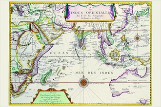
Indies Orientales; Southeast Asia 1680
UMG20A01_266
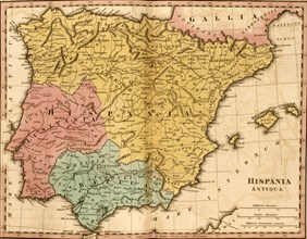
Spain or Hispania 285 BCE
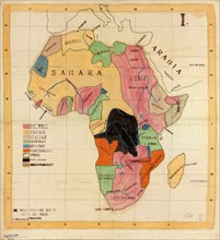
UMG20A01_485
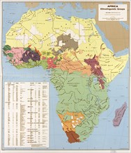
Ethnolinguisitic Map of Africa 1996
UMG20A01_493
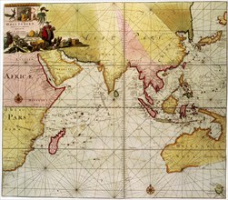
Navigational Map of the Indian Ocean - 1630 1630
UMG20A01_496
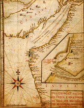
Ports & islands in East Africa & The Coast of Indi...
UMG20A01_236
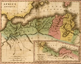
Northern Africa 202 BCE
UMG20A01_484
Egypt, with part of Arabia and Palestine. 1803
UMG20A01_492
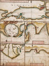
Portuguese map of Fortified Cities on the Coast of...
UMG20A01_497
Portuguese Port of Goa in India - 1630 1630
UMG20A02_013
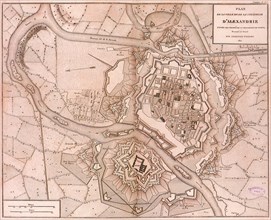
Portuguese maps of Turkey, & the Port of Alexandri...
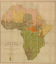
UMG20A01_470
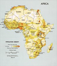
Africa Population Density 1969
UMG20A01_483
Egypt, Arabia Petræa, and Southeastern Turkey 1882
UMG20A01_494
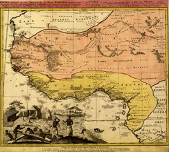
Guinee & Balck Africa 1743
UMG20A01_096
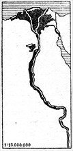
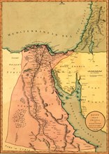
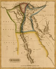
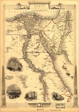
Egypt & the Nile Delta - 1817
UMG20A01_471
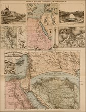
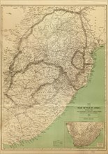
Seat of War in Africa - 1899 1899
UMG20A01_482
Egypt & Arabia Petrea(assholes put the stamp over ...
UMG20A01_495
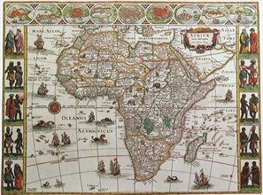
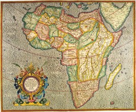
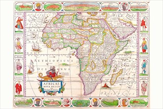
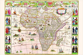
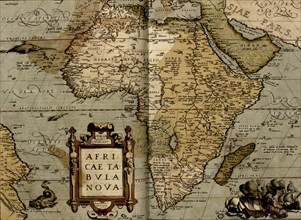
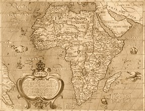
Ortelius Africa - 1579 1570
UMG20A02_015
Portuguese Map of Brazil's Amazon - 1630 1630
UMG20A01_095
Africa - 1817
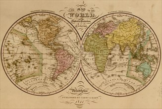
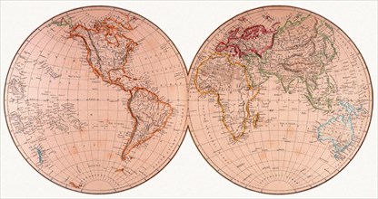
UMG20A01_166
World Map -1844 1844
UMG20A01_472
African Countries - 1908
UMG20A01_481
African Languages - 1883 1883
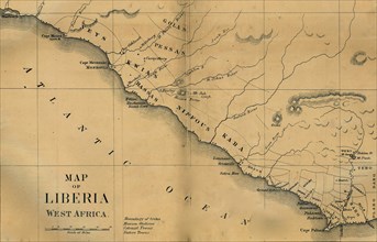
UMG20A01_490
American Colinization Map of Liberia 1835
UMG20A01_473
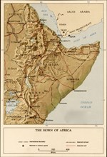
Horn of Africa - 1969 1969
UMG20A01_480
Africa - 1603 1602
UMG20A01_491
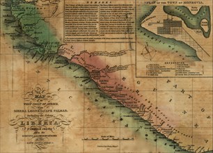
Sierra Leone & Liberia 1830
UMG20A02_125
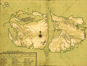
Falkland Islands, Malvinas 1700's - South America...
- Page
-
- sur
- 2