472 résultats pour : old u.s. maps
- Page
-
- sur
- 5
Connectez-vous pour plus de résultats
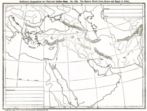
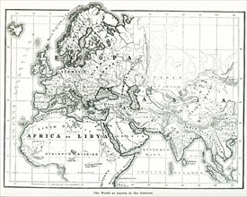
UMG25A06_180
This geographical and historical outline map shows...
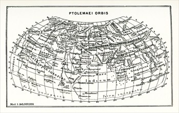
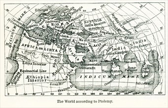
UMG25A01_164
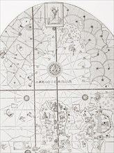
This map shows the world according to Ptolemy. The...
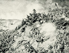
UMG25A00_453
On June 17, 1775, early in the Revolutionary War (...
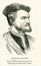
UMG24A07_002
This illustration of Jacques Cartier dates to 1912...
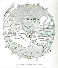
UMG24A06_490
This map shows the world as it was known to the an...
UMG24A06_489
This image shows a map of the world ""according to...
UMG24A06_491
Pictured here is the world according to Ptolemy, a...
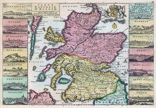
UMG23A62_310
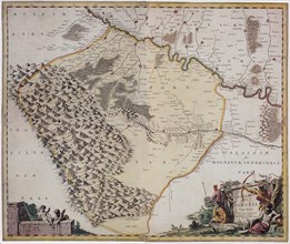
Map of Scotland dating from the early 18th century...
UMG23A62_334
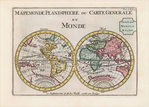
World map dating from the late 17th or early 18th ...
UMG23A60_343
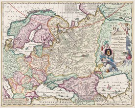
17th century map of Russia and surrounding countri...
UMG23A61_178
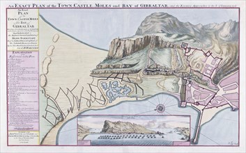
An Exact Plan of the Town Castle Moles and Bay of ...
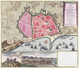
UMG23A62_060
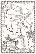
Imagined situation of the Garden of Eden.
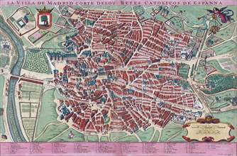
UMG23A61_201
Anonymous map of Madrid dating from late 17th or e...
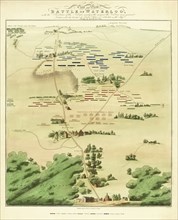
UMG23A60_110
Souvenir Battle of Waterloo map.
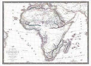
UMG23A60_090
Map of the African continent by the geographer A.H...
UMG23A62_099
The true and exact Plan of all the Old and New For...
UMG23A62_131
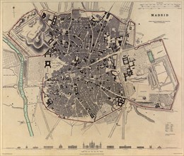
Plan of Madrid.
UMG23A62_270
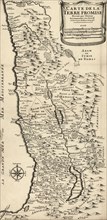
French map from 1720 of Palestine.
UMG23A61_155
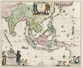
Map of South-East Asia.
UMG23A62_069
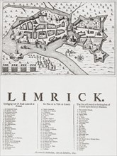
Map of Limerick.

UMG23A62_481
Nathaniel Nye.
UMG23A61_061
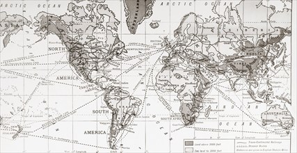
Physical map of the world.
UMG23A61_133
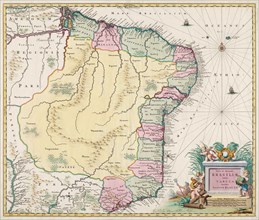
Map of Brazil.
UMG23A62_411
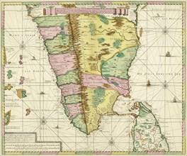
Map of Southern India and Ceylon.
UMG23A61_153
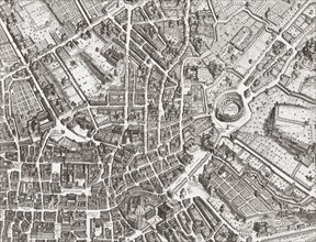
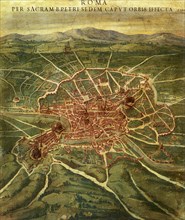
Map of the centre of Rome.

UMG23A61_161
The beheading of Cornelis de Hooghe.
UMG23A62_303
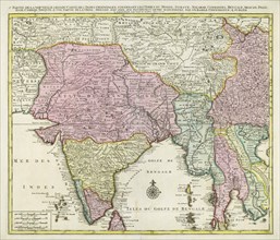
Map of India and Southern Asia dating from 1792.
UMG23A63_006
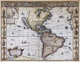
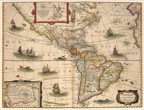
Map of America.
UMG23A61_164
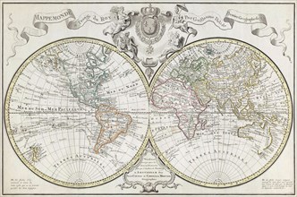
World Map.
UMG23A62_478
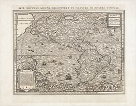
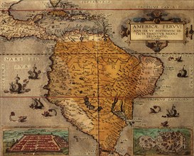
Map of North and South America.
UMG23A60_172
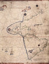
The sea chart of Juan de la Cosa.
UMG23A62_062
Map showing the extent of the damage caused by the...
UMG23A00_015
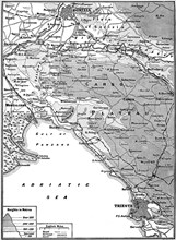
Map of Carso Battlefield.
UMG23A00_243
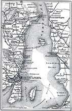
Map of Copenhagen.
UMG23A02_037
Map of Archipelago Hawaii.
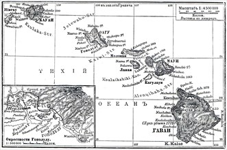
UMG23A02_072
Paris Exhibition.
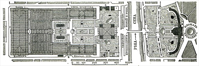
UMG23A02_073
Vienna Exhibition.
UMG23A02_038
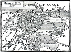
Plan of La Habana.
UMG23A02_039
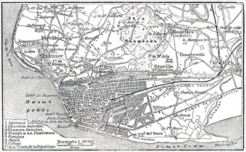
Plan of Le Havre.
UMG23A02_068
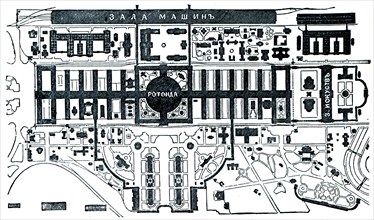
Berlin Exhibition.
UMG23A02_069
Paris Exhibition.
UMG23A02_070
Paris Exhibition.
UMG23A02_071
Paris Exhibition.
UMG23A02_064
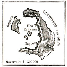
Map of Santorini islans before erasure of 1880.
UMG22A69_243
The Lyne-Bradford Plan.
UMG22A69_244
The Carwitham Plan and Char.
UMG22A69_251
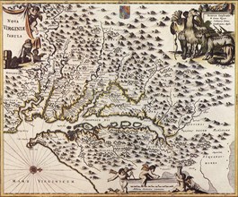
Americae pars, Nune Virginia dicta.
UMG22A69_257
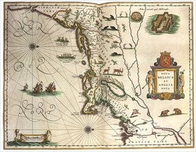
Nova Belgica et Anglia Nova.
UMG22A69_264
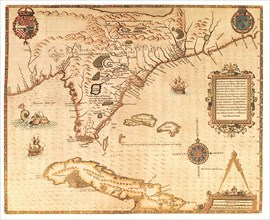
A Map of the most Inhabited part of Virginia.
UMG22A67_399
Head of the World.
UMG22A67_425
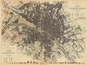
Map of Paris.
UMG22A67_431
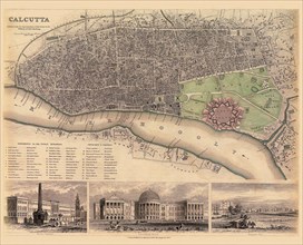
Map of Calcutta.
UMG22A67_442
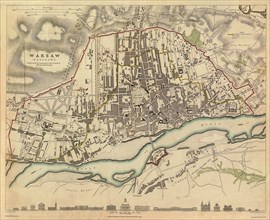
Map of Warsaw.
UMG22A67_449
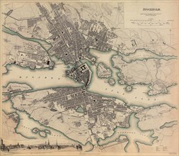
Map of Stockholm.
UMG22A68_012
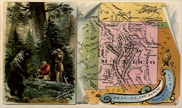
Bear vs. Frontiersmen.
UMG22A69_242
The Maggiolo Map.
UMG22A69_256
America noviter delineata.
UMG22A69_265
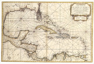
Carte reduite du Golphe de Mexique et des isles.
UMG22A67_424
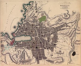
Map of Marseille.
UMG22A67_432
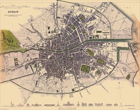
Map of Dublin.
UMG22A67_441
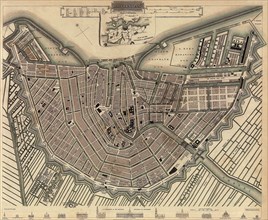
Map of Amsterdam.
UMG22A67_450
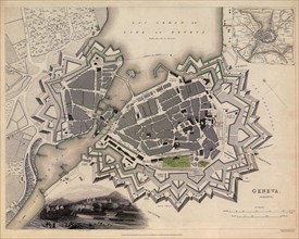
Map of Geneva.
UMG22A69_245
The Tiddeman Chart.
UMG22A69_255
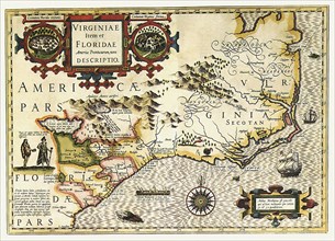
Virginiae Item et Floridae Americae Provinciarum n...
UMG22A69_266
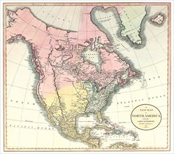
A New Map of North America.
UMG22A67_415
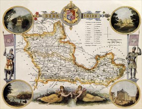
Map of Berkshire County, England.
UMG22A67_423
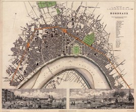
Map of Bordeaux.
UMG22A67_433
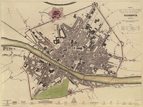
Map of Florence.
UMG22A67_444
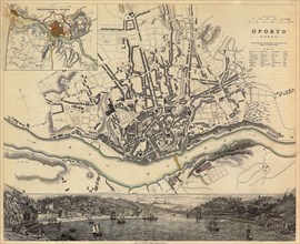
Map of Oporto, Portugal.
UMG22A67_447
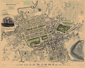
Map of Edinburgh.
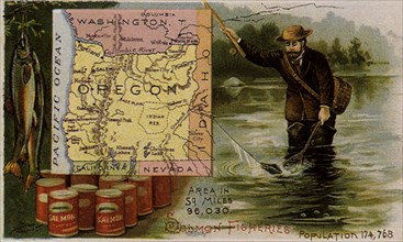
UMG22A68_014
Oregon Salmon Fishing.
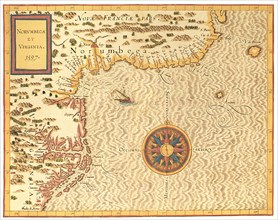
UMG22A69_254
Norumbega et Virginia.
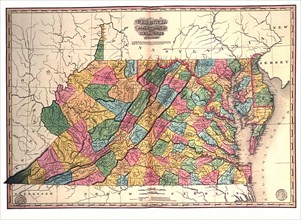
UMG22A69_267
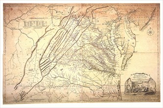
Virginia, Maryland and Delaware.
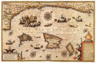
UMG22A65_272
Mediterranean Sea, 1595
UMG22A65_277
Polar Map 1702
UMG22A67_422
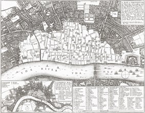
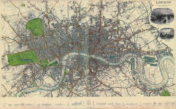
Map of London.
UMG22A67_434
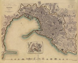
Map of Genoa, Italy.
UMG22A67_443
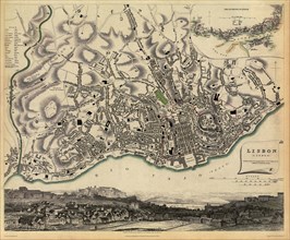
Map of Lisbon.
UMG22A67_448
Map of Madrid.
UMG22A68_013
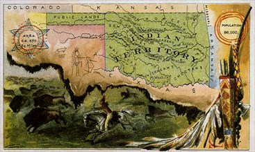
Indian Territory.
UMG22A65_444
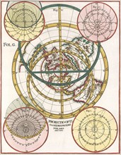
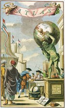
Atlas on Frontispiece
UMG22A69_172
Map of Ukraine.
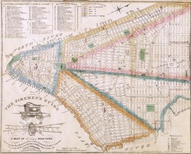
UMG22A69_247
The Fireman's Guide.
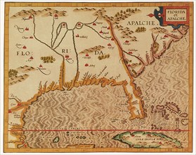
UMG22A69_253
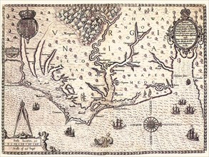
Florida et Apalche.
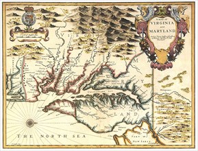
UMG22A69_260
A Map of Virginia and Maryland.
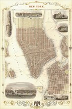
UMG22A69_271
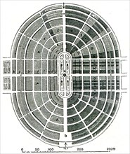
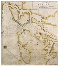
New York 1851.
UMG22A67_421
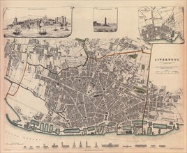
Map of Liverpool.
UMG22A67_427
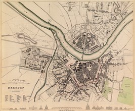
Map of Dresden.
UMG22A67_438
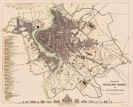
Map of Rome.
UMG22A67_453
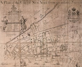
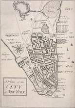
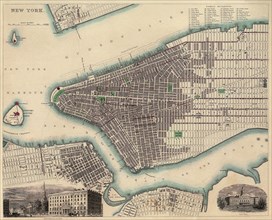
Map of New York City.
UMG22A67_455
Map of South America.
UMG22A69_171
Map of Chesapeack Bay and Virginia.
UMG22A69_246
The Ratzer Map.
UMG22A69_252
Floridae Americanae Provinciae Recens & exactissim...
UMG22A69_261
A New description of Carolina.
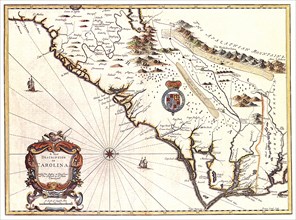
UMG22A69_270
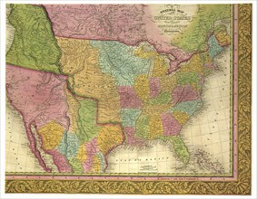
A General Map of the United States.
UMG22A65_275
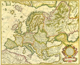
Map of Europe 1623
UMG22A67_420
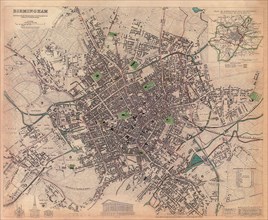
Map of Birmingham.
UMG22A67_428
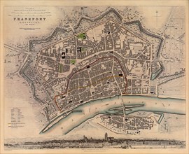
Map of Frankfort.
UMG22A67_437
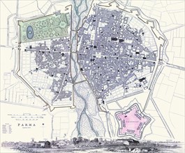
Map of Parma.
- Page
-
- sur
- 5