22 results for: art cartography
- Page
-
- of
- 1
Please sign in for more results
ARP18A03_258
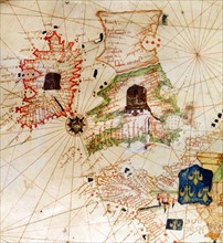
England and Ireland depicted in Jacopo Russo Map o...
ARP18A03_269
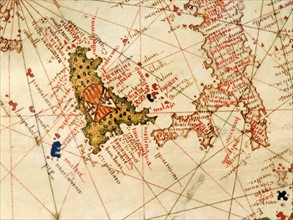
Italy and Sicily depicted in Jacopo Russo Map of t...
ARP18A27_193
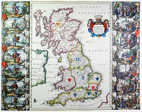
Antique map of Britain. Published 1635
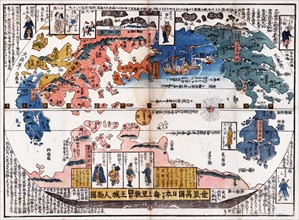
ARP18A07_375
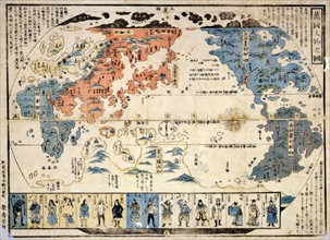
Bankoku jinbutsu no zu (People of many nations)
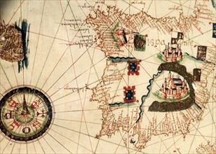
ARP18A03_270
Spain and Portugal depicted in Jacopo Russo Map of...
ARP18A03_259
France depicted in Jacopo Russo Map of the world 1...
ARP18A09_025
Japanese diptych print
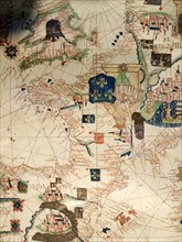
ARP18A03_262
Palestine with Jerusalem and Damascus
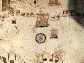
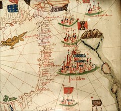
ARP18A03_261
Mediterranean Sea with compass and ship
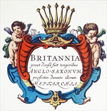
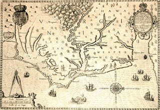
ARP18A27_195
The Heptarchy is a collective name applied to the ...
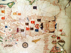
ARP18A03_263
Ottoman Sultan and Turkey depicted in Jacopo Russo
ARP18A08_078
Map of Nagasaki
ARP18A03_265
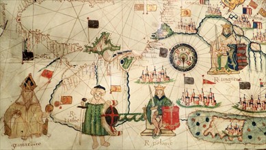
King of Hungary depicted in Jacopo Russo Map of th...
ARP18A27_107
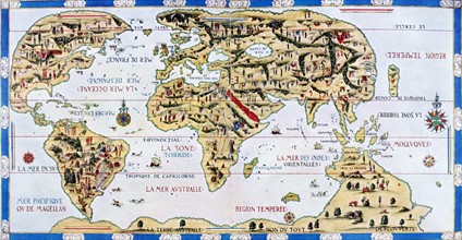
The 'Dauphin' map by Desceliers, 1546,
ARP18A12_473
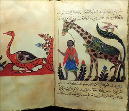
Advances in zoology, botany, astronomy and navigat...
ARP18A12_471
Advances in zoology, botany, astronomy and navigat...
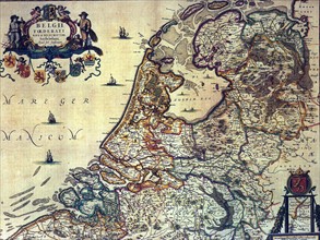
ARP18A00_338
1658 map of the Dutch Republic.
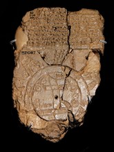
ARP17A18_161
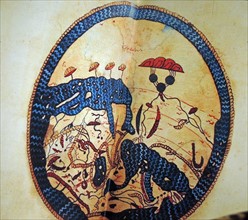
Clay tablet depicting a Babylonian map of the Worl...
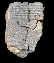
ARP10A02_072
Babylonian world map
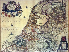
ARP10A02_148
Map of the Dutch Republic
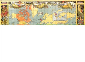
ARP10A02_377
British Empire
ARP10A02_146