25 résultats pour : italian cartographer
- Page
-
- sur
- 1
Connectez-vous pour plus de résultats
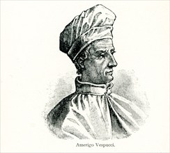
UMG25A01_158
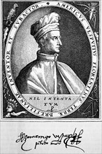
Vespucci (1454-1512) was an Italian explorer, fin...
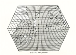
UMG25A01_156
Toscanelli’s Map (Restored). Toscanelli (1397 –14...
UMG25A01_160
This map by Giacomo Gastaldi (c 1500 – c 1565) was...
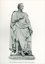
UMG24A06_496
This photo dating to 1912 shows Amerigo Vespucci, ...
UMG23A62_321
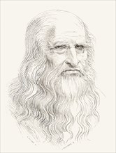
Leonardo di ser Piero da Vinci.

UMG23A61_117
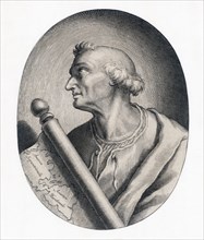
Amerigo Vespucci.
UMG23A61_124
Amerigo Vespucci.
UMG23A63_357
Leonardo di ser Piero da Vinci.
UMG20B49_432
Amerigo Vespucc
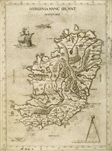
UMG20B36_187
Hybernia Nunc Irlant. Ireland. Map.
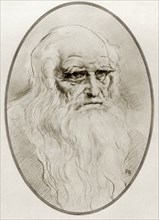
UMG20B23_234
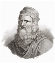
Leonardo di ser Piero da Vinci
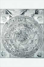
UMG20A04_084
Celestial Map 1603
UMG20A04_092
World Map of lands and waterways 1652
UMG20A04_121
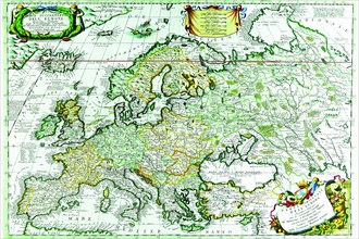
Europe 1690
UMG20A04_122
Europe 1641
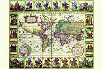
UMG20A04_100
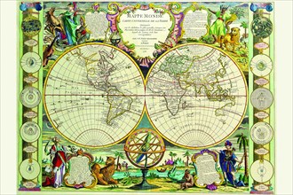
Mappa Monde Carte Universelle de la terre 1755
UMG20A00_289
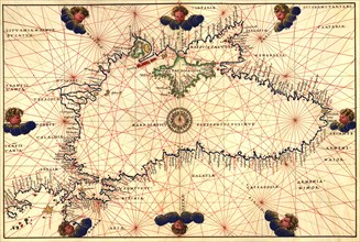
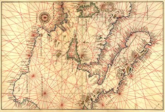
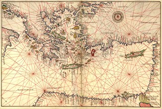
Portolan or Navigational Map of the Black Sea show...
UMG20A00_293
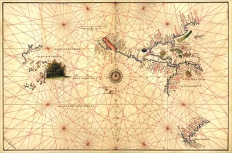
Portolan Map of Italy, Sicily, North Africa & the ...
UMG20A00_288
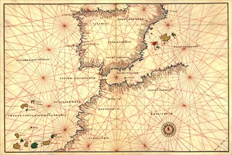
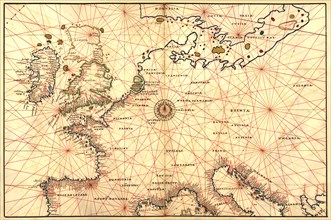
Portolan or Navigational Map of the Spain, Gibralt...
UMG20A00_322
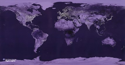
Satellite View of the World showing Electric light...
UMG20A00_292
Portolan Map of Africa, the Indian Ocean and the I...
UMG20A00_291
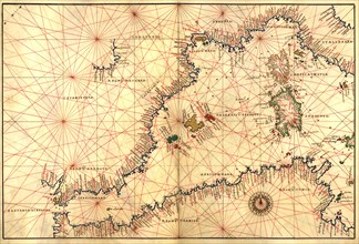
Portolan or Navigational Map of Greece, the Medite...
UMG20A00_294
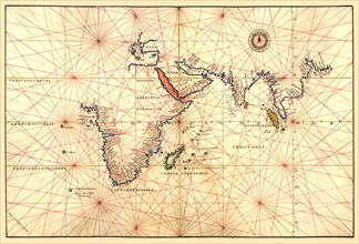
Portolan Map of the Western Hemisphere showing wha...
UMG20A00_295
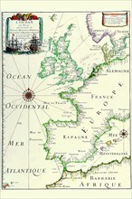
Portolan Map of Spain, England, France, Germany, T...
UMG20A00_290