24 résultats pour : western hemisphere
- Page
-
- sur
- 1
Connectez-vous pour plus de résultats
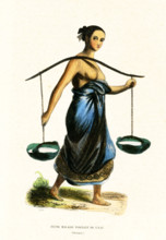
UMG25A05_043
This 1840s illustration shows a young Malaysian wo...
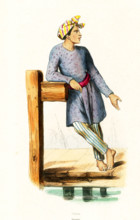
UMG25A05_044
This 1840s illustration shows a Malaysian man. Mal...
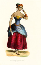
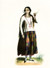
UMG25A05_042
This 1840s illustration shows an upper class lady ...
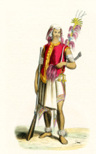
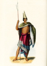
UMG25A05_047
This 1840s illustration shows a warrior from Timor...
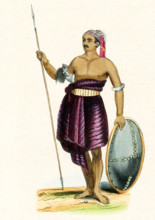
UMG25A05_045
This 1840s illustration shows a warrior from the i...
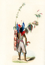
UMG25A05_046
This 1840s illustration shows a warrior from the i...
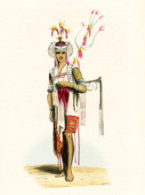
UMG25A05_035
This 1840s illustration shows a herald from Timor....
UMG25A05_036
This 1840s illustration shows a native of the isla...
UMG25A05_039
This 1840s illustration shows a lady from the isla...
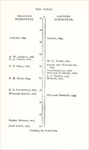
UMG25A01_163
Climbing the north Pole. Western Hemisphere: John...
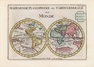
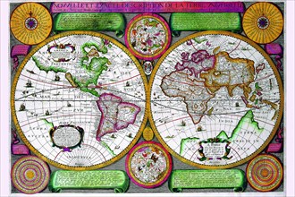
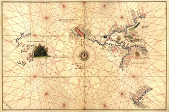
UMG23A62_334
World map dating from the late 17th or early 18th ...
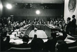
UMG22A47_273
President John F. Kennedy, 1962
UMG21A18_167
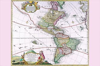
Map of New World 1617
UMG20A01_048
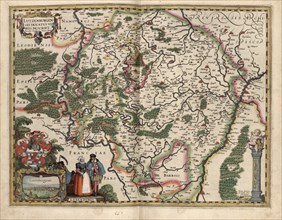
Map of Luxembourg 1622
UMG20A04_108
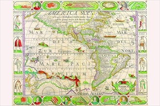
The Americas - The Western Hemisphere 1746
UMG20A04_103
The Americas at the Time of Columbus Prited in 165...
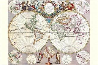
UMG20A04_089
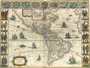
World Map with Figural Representations of the Worl...
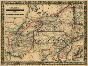
UMG20A01_346
Civil War Railroad Map - 1862
UMG20A04_090
Stereographic World Map of the Eastern & Western H...
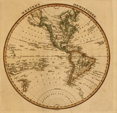
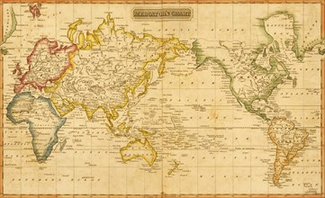
UMG20A01_077
Western Hemisphere -1817
UMG20A01_078
Mercator's Chart -1817
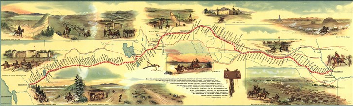
UMG20A03_202
Pony Express Route 1860 - 1861 1860
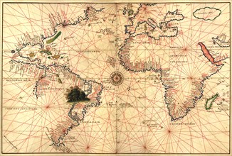
UMG20A00_301
Portolan World Map 1620
UMG20A00_294