41 résultats pour : 18th century north america map
- Page
-
- sur
- 1
Connectez-vous pour plus de résultats
UMG25A00_453
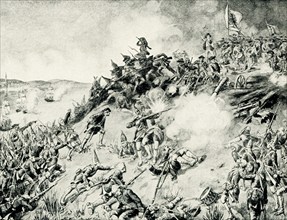
On June 17, 1775, early in the Revolutionary War (...
UMG22A69_256
America noviter delineata.
UMG22A67_455
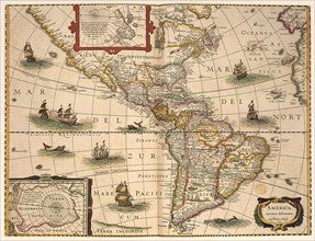
Map of South America.
UMG22A69_171
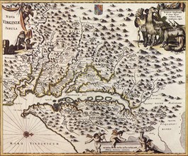
Map of Chesapeack Bay and Virginia.
UMG22A69_161
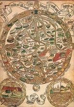
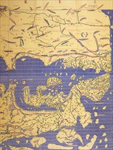
Medieval Map of Europe.
UMG22A69_162
Chart of the South Atlantic.
UMG22A69_168
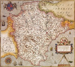
Map of Devonshire, England.
UMG22A65_278
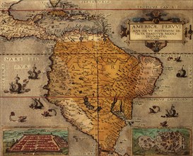
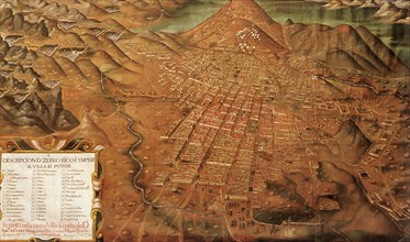
Map of Potosi, Peru 1758
UMG22A69_160
Map of South America.
UMG22A69_167
Map of Sicily.
UMG22A69_170
Map of England.
UMG22A67_387
North America and Islands.
UMG22A69_169
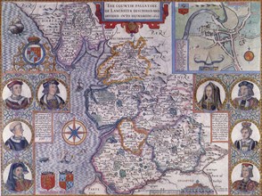
Countie Pallatine of Lancaster.
UMG22A69_164
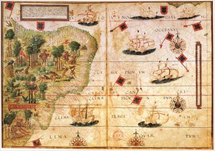
Map of Brazil.
UMG22A69_163
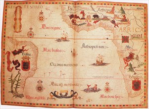
Western Europe and northwestern Africa.
UMG22A69_166
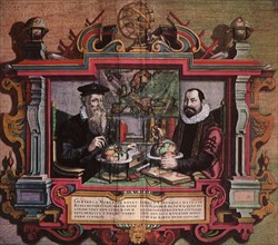
Mapmakers Gerard Mercator & Jodocus Hondius.
UMG22A69_165
Map of the World.
UMG22A69_258
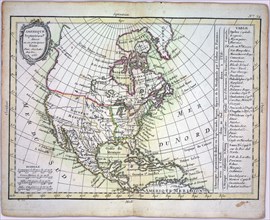
Amerca Septentrionalis.
UMG22A54_388
Géographie
UMG22A56_204
Géographie
UMG22A50_421
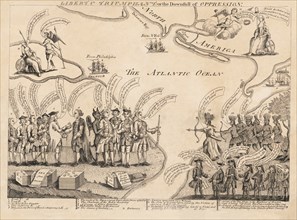
Liberty triumphant; or the downfall of oppression
UMG22A24_478
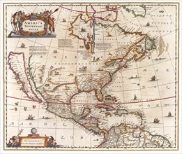
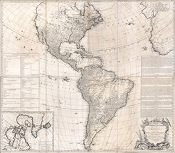
Antique map of North and South America - ca. 1772
UMG22A24_479
Vintage Maps / Antique Maps - A map of the British...
UMG22A26_042
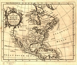
ca. 1750s - An Accurate map of North America from ...

UMG22A06_449
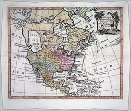
North America divided into its principal nations
UMG21A17_319
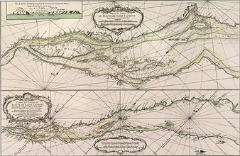
Map of the River St. Laurence, Canada 1761
UMG21A17_320
Canada Map 1762
UMG21A17_322
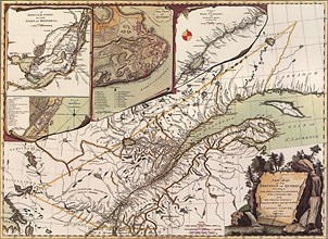
Quebec Map 1776
UMG21A17_321
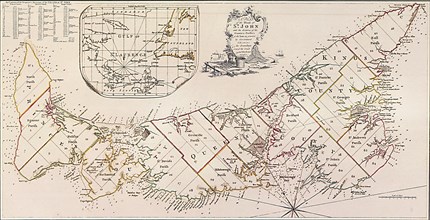
Prince Edward Island 1775
UMG21A17_334
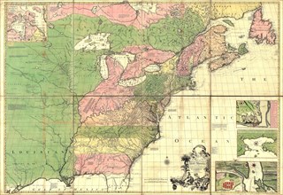
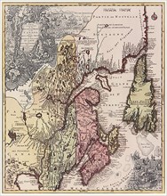
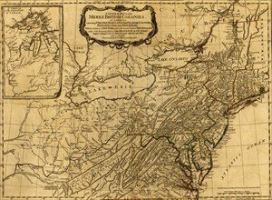
English Colonies 1778
UMG21A17_318
Map of the River St. Laurence, Canada 1760
UMG20B19_329
Regni Mexicani seu Novae Hispaniae
UMG20A03_429
British Colonies - 1776
UMG20A04_104
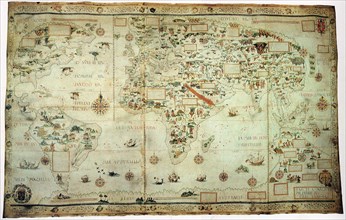
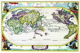
Navigationes Precipae Europorum ad Exteras Natione...
UMG20A01_354
French & English Settlements in the US - 1777
UMG20A03_428
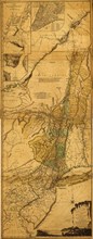
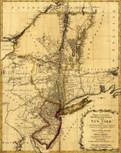
New York & New Jersey - 1776
UMG20A03_427
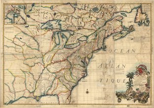
French & English Settlements in North America - 17...
UMG20A01_365
New York & New Jersey during the Revolution - 1778
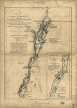
UMG20A03_401
Lake Champlain, Lake George, Crown Point & St. Joh...
UMG20A01_341
Quebec, Canada & French North America - 1700 1700
UMG20A03_432