6 résultats pour : 1770s vintage maps
- Page
-
- sur
- 1
Connectez-vous pour plus de résultats
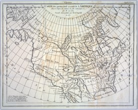
UMG22A54_004
Géographie
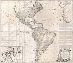
UMG22A24_478
Antique map of North and South America - ca. 1772
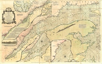
UMG22A29_294
Vintage Maps / Antique Maps - An exact chart of th...
UMG22A30_049
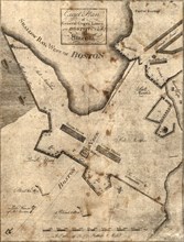
Vintage Maps / Antique Maps - Boston Harbour, with...
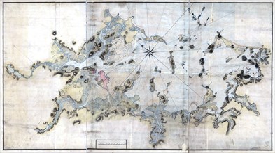
UMG22A30_051
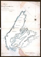
Vintage Maps / Antique Maps - A plan of the island...
UMG22A29_485