179 résultats pour : ancient maps
- Page
-
- sur
- 2
Connectez-vous pour plus de résultats
UMG25A06_054
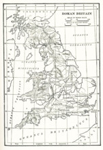
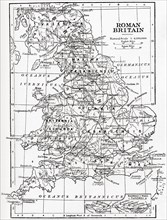
Map Roman Britain. The Province of Britain (Britan...
UMG25A06_055
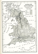
Germanic Settlements in England. This map shows Ge...
UMG25A01_165
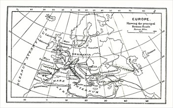
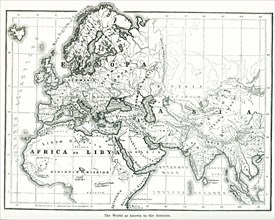
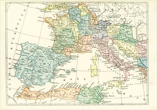
This map of europe shows the principal ancient Rom...
UMG25A01_164
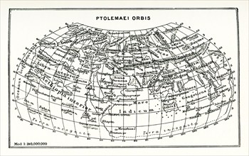
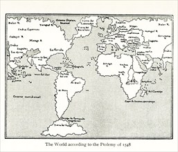
This map shows the world according to Ptolemy. The...
UMG25A01_156
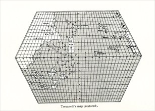
Toscanelli’s Map (Restored). Toscanelli (1397 –14...
UMG25A01_182
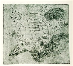
This Babylonian/Chaldaean map of the world was dra...
UMG25A01_160
This map by Giacomo Gastaldi (c 1500 – c 1565) was...
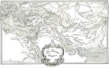
UMG25A01_204
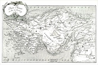
This 1903 illustration shows a map of Asia Minor (...
UMG25A01_210
This map, which dates to 1903, delineates the anci...
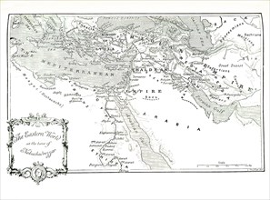
UMG25A01_202
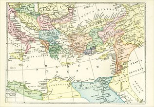
This 1903 illustration shows a map of the eastern ...
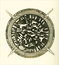
UMG25A01_177
Carved into the ceiling of the portico of a chapel...
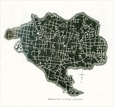
UMG24A06_482
This ground plan of Roman catacombs dates to 1897....
UMG24A06_490
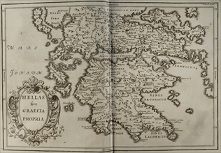
This map shows the world as it was known to the an...
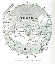
UMG24A06_489
This image shows a map of the world ""according to...
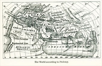
UMG24A06_491
Pictured here is the world according to Ptolemy, a...
UMG24A06_477
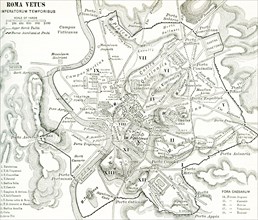
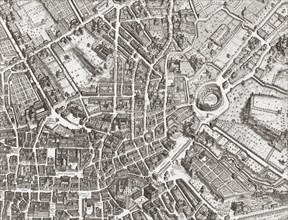
This map of Rome shows the city during the period ...
UMG24A06_475
This map dates to 1897 and shows the western Provi...
UMG24A06_476
This map dates to 1897 and shows the western Provi...
UMG23A58_459
Map of Roman Britain showing the area of the islan...
UMG23A61_153
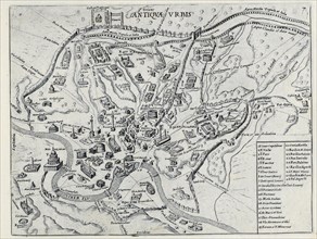
Map of the centre of Rome.
UMG23A65_271
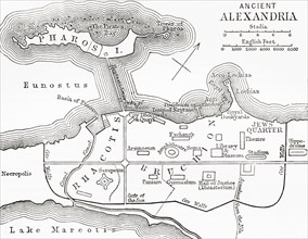
Map of ancient Alexandria.
UMG23A64_108
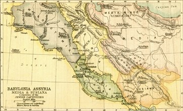
Map of Babylon.
UMG23A64_339
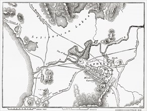
Plan of Ephesus.
UMG23A64_335
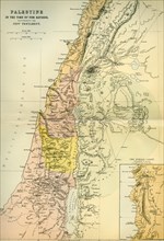
Map of Palestine circa 1st century A.D.
UMG23A44_360
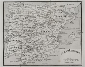
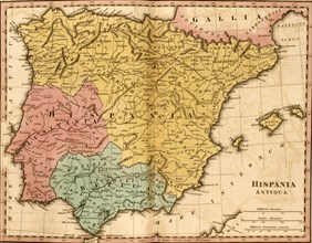
Map of Roman Hispania.
UMG23A44_375
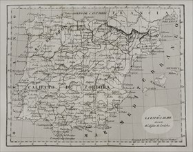
Map of Moorish Spain during the Caliphate of Cordo...
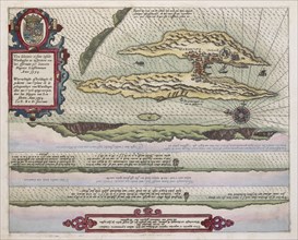
UMG23A02_064
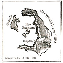
Map of Santorini islans before erasure of 1880.
UMG22A41_211
Splendore Dell' Antica Roma, c.1625
UMG22A04_187
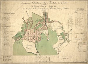
Reichborns kart over Christiania
UMG22A03_495
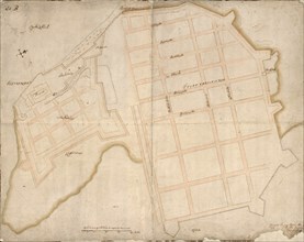
Geelkercks kart over Christiania
UMG22A03_072
Linschotens kart over Vardø - Cartographer Jan Huy...
UMG22A03_311
Cornelis De Jodes verdenskart
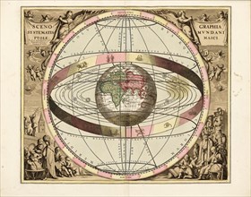
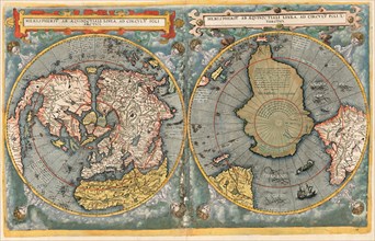
UMG21A22_217
Cellarius' Scenographia Systematis Mundani Ptolema...
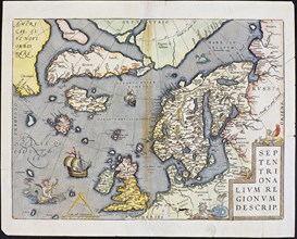
UMG21A22_218
Abraham Ortelius nordenkart, 1601 - Map of Norther...
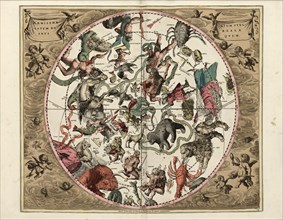
UMG21A22_215
Cellarius' Hæmisphærium Stellatum Boreale Antiqvum...
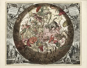
UMG21A22_216
Cellarius' Hæmisphærium Stellatvm Boreale cvm Subi...
UMG21A22_213
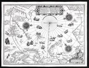
Barentskartet, 1598.
UMG21A22_214
Cartographer Vibe og Irgens - Vibe og Irgens kart ...
UMG21A17_190
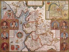
Lancashire, 1611
UMG21A18_161
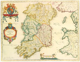
Map of Ireland 1635
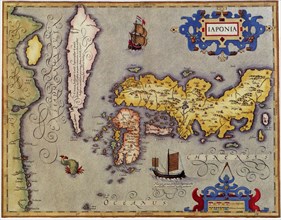
UMG21A17_189
Japan, 1606
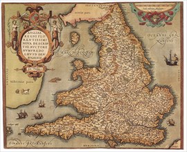
UMG21A17_201
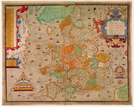
England and Wales, 1573
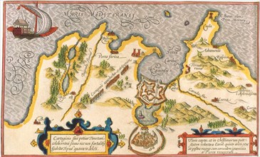
UMG21A17_206
Barbary coast
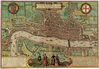
UMG21A17_183
London, 1572
UMG21A17_169
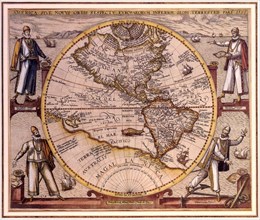
New World, 1596
UMG21A18_162
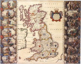
British Isles Map1645
UMG21A17_170
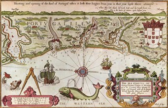
Northern Coastal Strip of Portugal, 1588
UMG21A17_237
England
UMG21A17_264
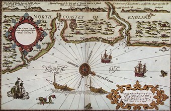
England's North East Coast, 1588
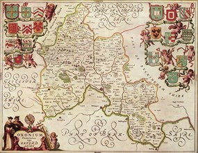
UMG21A17_192
Oxfordshire,1646
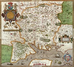
UMG21A17_238
Hampshire 1579
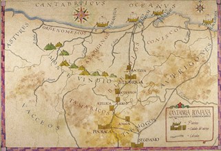
UMG21A15_393
Map of Cantabria.
UMG21A15_020
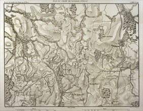
Battlefield of Eylau.
UMG21A15_022
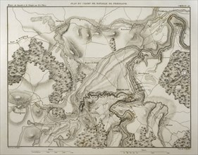
Battlefield of Friedland.
UMG21A06_358
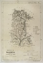
Spain, Map of the province of Palencia
UMG21A06_365
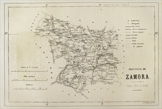
Spain, Map of the province of Zamora
UMG21A06_381
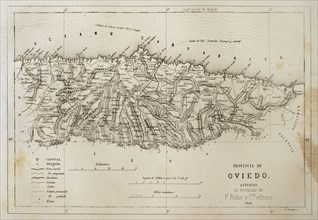
Spain, Map of the province of Oviedo
UMG21A06_348
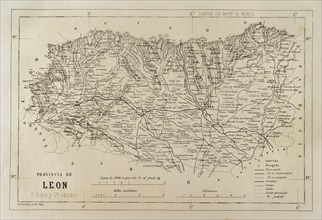
Spain, Map of the province of Leon
UMG21A06_374
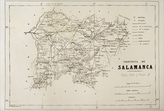
Spain, Map of the province of Salamanca
UMG21A06_397
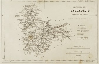
Spain, Map of the province of Valladolid
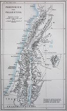
UMG21A01_407
Map of ancient Phoenicia and Palestine / Landkar...
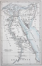
UMG21A01_408
Map of ancient Egypt and Petraea / Landkarte des...
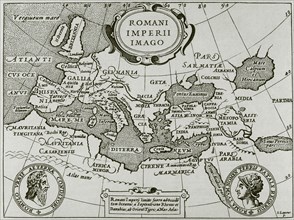
UMG20B37_085
Romani Imperii Imago.
UMG20B40_368
Sallust.
UMG20B36_195
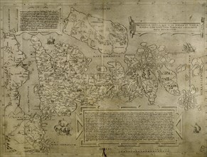
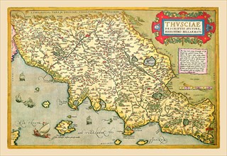
Italy. Cities of Mantua, Bologna, Venice, Modena, ...
UMG20B36_196
Map of the British Isles. 16th century. 1543
UMG20B36_200
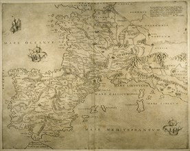
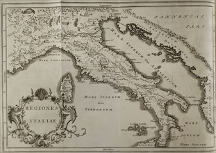
Iberian Peninsula, France and northern Italy.
UMG20B36_186
Map of the cities of North Africa. 16th century.
UMG20B36_187
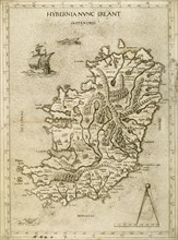
Hybernia Nunc Irlant. Ireland. Map.
UMG20B27_406
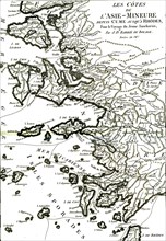
Minor asia coast
UMG20B27_405
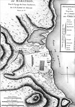
Marathon battle map ( ancient greece )
UMG20B24_324
History by Polybius, Volume IV
UMG20B24_315
History by Polybius, Volume III
UMG20B21_442
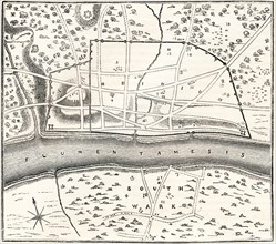
A plan of Roman London
UMG20B04_345
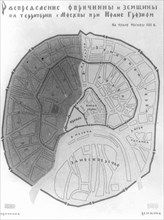
A map of medieval moscow divided in oprichnina (th...
UMG20A00_075
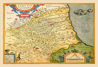
Map of Northeastern Italy - Verona 1602
UMG20A00_096
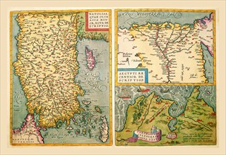
Maps of Turkey, Egypt, and Libya 1602
UMG20A00_078
Map of Italian Coast above Rome 1602
UMG20A00_093
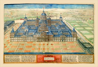
Building in Spain 1602
UMG20A00_061
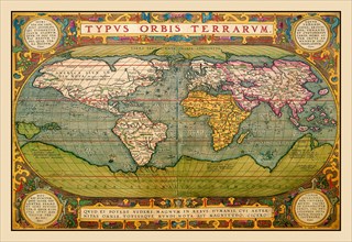
World Map 1602
UMG20A00_110
Map of Northeastern Italy 1602
UMG20A00_337
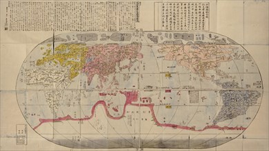
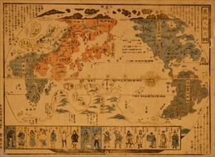
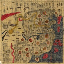
Chinese Medieval World Map
UMG20A00_348
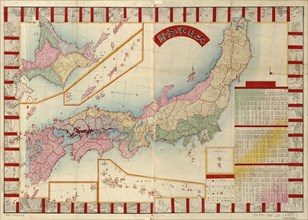
Japan 1888
UMG20A01_035
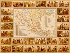
Ethnographic Map of Mexico 1885
UMG20A01_059
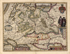
The area around Utrecht 1622
UMG20A00_338
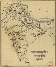
Map of India
UMG20A04_084
Celestial Map 1603
UMG20A00_339
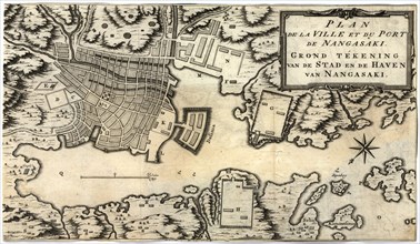
City Plan of Nagasaki, Japan in the 18th Century 1...
UMG20A00_350
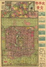
Beijing 1921 City Map 1921
UMG20A00_331
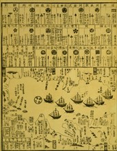
Perry arrives in Uraga, Soshu Province 1871
UMG20A00_340
Map of Korea
UMG20A00_349
Japanese Woodblock map Based on Matteo Ricci's Wor...
UMG20A01_238
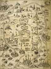
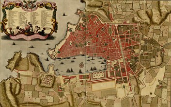
Citadel at the ancient city of Merseille, France -...
UMG20A00_333
People of Many Nations 1850
UMG20A00_334
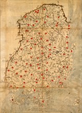
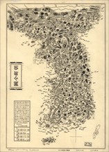
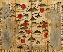
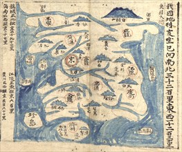
Ancient Map of Korea

UMG20A00_362
Chinese Summer Palace 1888
UMG20A01_464
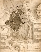
Jerusalem - 1835 1835
UMG20A00_335
Ancient Map of Korea
UMG20A01_266
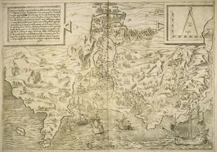
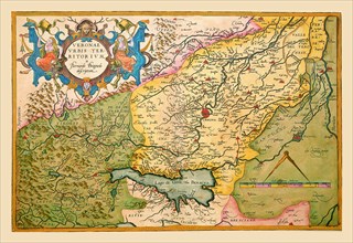
Spain or Hispania 285 BCE
UMG20A00_336
Chinese Map
- Page
-
- sur
- 2